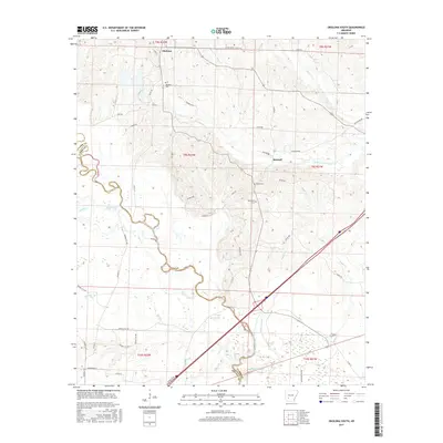
2017 Map of Okolona South
USGS Topo · Published 2017About this map
Okolona anchors the northern edge of this Clark County landscape, where the terrain shifts toward the bottomlands of the Little Missouri River. This survey captures the rural character of the region as it transitions between upland ridges and the complex hydrography of the river valley. Significant genealogical landmarks are concentrated near the settlements, including the Okolona Cem and the geographically distinct Rome Cem and Old Rome Cem further south near Burtsell.
Find a feature on this map
59 named features on this map. Tap any name to fly to it.
Don’t see what you’re looking for? This feature index may not catch every label — zoom into the map to look around manually.
Map Details
Editions of this 2017 Okolona South Map
This is the sole edition of this map. No revisions or reprints were ever made.
Other maps of this area
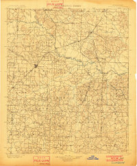
1901 · Gurdon
USGS Topo · 1:125,000
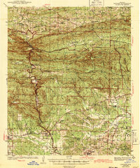
1943 · Antoine
USGS Topo · 1:62,500

1953 · El Dorado
USGS Topo · 1:250,000
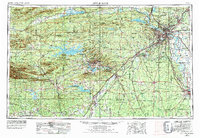
1955 · Little Rock
USGS Topo · 1:250,000
1956 · Little Rock
USGS Topo · 1:250,000
1957 · El Dorado
USGS Topo · 1:250,000
1958 · El Dorado
USGS Topo · 1:250,000
1960 · El Dorado
USGS Topo · 1:250,000
1960 · Little Rock
USGS Topo · 1:250,000
1964 · Little Rock
USGS Topo · 1:250,000