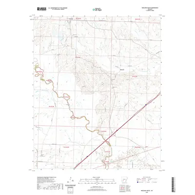
2020 Map of Okolona South
USGS Topo · Published 2020About this map
Okolona anchors the northern reaches of this rural Arkansas landscape, situated where the terrain transitions into the creek bottoms of the S Fork Terre Noire Cr. This region of Clark County is defined by a complex network of waterways, including the winding Middle Creek and several distinct wetlands like Grassy Lake and Beaver Slough. These hydrologic features historically dictated the placement of early settlements and road networks that still crisscross the countryside today.
Find a feature on this map
63 named features on this map. Tap any name to fly to it.
Don’t see what you’re looking for? This feature index may not catch every label — zoom into the map to look around manually.
Map Details
Editions of this 2020 Okolona South Map
This is the sole edition of this map. No revisions or reprints were ever made.
Other maps of this area

1901 · Gurdon
USGS Topo · 1:125,000

1943 · Antoine
USGS Topo · 1:62,500

1953 · El Dorado
USGS Topo · 1:250,000

1955 · Little Rock
USGS Topo · 1:250,000

1956 · Little Rock
USGS Topo · 1:250,000

1957 · El Dorado
USGS Topo · 1:250,000

1958 · El Dorado
USGS Topo · 1:250,000

1960 · El Dorado
USGS Topo · 1:250,000

1960 · Little Rock
USGS Topo · 1:250,000

1964 · Little Rock
USGS Topo · 1:250,000