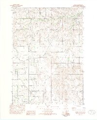
2021 Map of Okreek
USGS Topo · Published 2021About this map
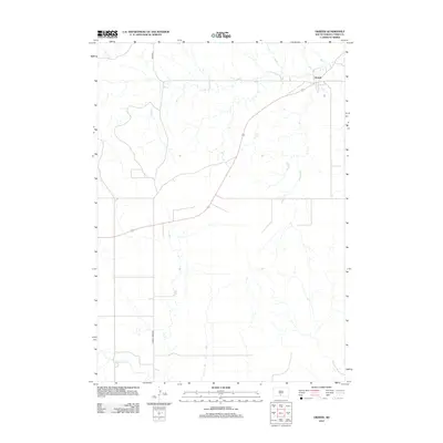
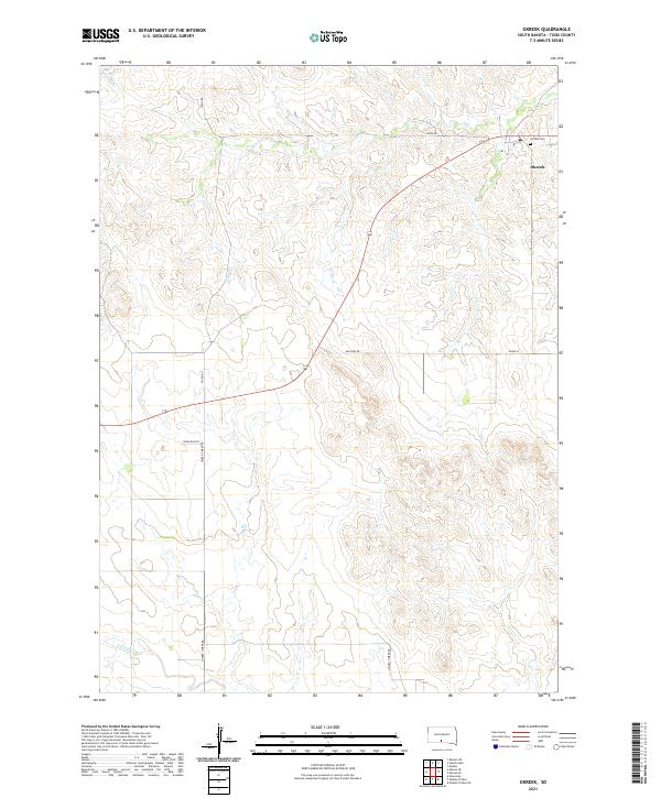
Okreek sits at the junction of several rural routes in Todd County, serving as a primary point of settlement in this northern plains landscape. The topography is defined by the winding drainages of Oak Cr and Butter Cr, which carve through the high ground in the northern half of the quadrangle, while Antelope Cr crosses the southwestern corner. Near the settlement, Calvary Cem provides a specific point of interest for genealogists and local historians. The map records a network of named roads including Wood Rd, Paulson Rd, and Hidden Timber Rd, which follow the natural contours of the terrain and connect isolated homesteads across the townships. This layout reflects the persistent agricultural and ranching patterns of the region into the twenty-first century, showing how modern transit corridors like Crow Dog Rd continue to trace the established paths between water sources and community centers.
Find a feature on this map
14 named features on this map. Tap any name to fly to it.
Don’t see what you’re looking for? This feature index may not catch every label — zoom into the map to look around manually.
Map Details
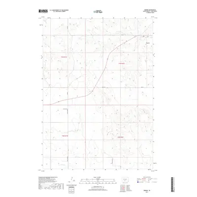
Editions of this 2021 Okreek Map
This is the sole edition of this map. No revisions or reprints were ever made.
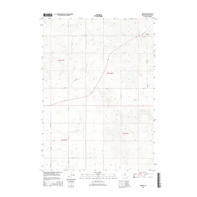
Historical Maps of Okreek Through Time
5 maps found