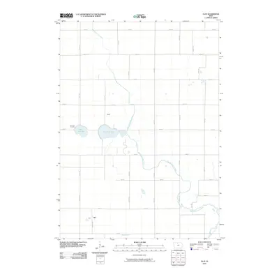
2010 Map of Olaf
USGS Topo · Published 2010About this map
West Branch Iowa River meanders across this rural Wright County landscape, defining the hydrology of an area centered on the small settlements of Olaf and Bailey. The terrain is characterized by the presence of natural water bodies like West Lake and East Twin Lake, which sit just south of the Bailey settlement. Near the shore of the western lake, West Lake Cemetery serves as a localized point of genealogical interest for those tracing family roots in this agricultural region. The landscape is structured by a strict section-line road grid, including Maple Ave and 120th St, which connects these dispersed communities. To the south, Eagle Creek crosses the lower portion of the survey, further illustrating the drainage patterns that have historically shaped the development of this part of northern Iowa.
Find a feature on this map
28 named features on this map. Tap any name to fly to it.
Don’t see what you’re looking for? This feature index may not catch every label — zoom into the map to look around manually.
Map Details
Editions of this 2010 Olaf Map
This is the sole edition of this map. No revisions or reprints were ever made.
Other maps of this area

1954 · Mason City
USGS Topo · 1:250,000

1954 · Waterloo
USGS Topo · 1:250,000

1955 · Waterloo
USGS Topo · 1:250,000

1957 · Mason City
USGS Topo · 1:250,000

1958 · Mason City
USGS Topo · 1:250,000

1972 · Kanawha SE
USGS Topo · 1:24,000

1972 · Cornelia
USGS Topo · 1:24,000

1972 · Kanawha
USGS Topo · 1:24,000

1972 · Olaf
USGS Topo · 1:24,000

1972 · Belmond
USGS Topo · 1:24,000