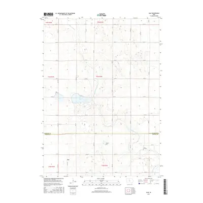
2015 Map of Olaf
USGS Topo · Published 2015About this map
The small settlement of Olaf serves as a quiet anchor for this agricultural landscape along the northern border of Wright County. The terrain is defined by the winding course of the West Branch Iowa River and its northern tributary, the W Br Iowa River, which meander through a grid of section-line roads. This area preserves a sense of local lineage and burial traditions, notably marked by the Simenson Family Plot and the larger Hickory Grove Cem situated to the east. Near the center of the map, the distinct basins of W Twin Lake and E Twin Lake disrupt the geometric precision of the township roads, creating a unique hydrological pocket. Further south, Eagle Cr drains the prairie land, reflecting the classic water-driven settlement patterns that shaped this Iowa interior long before modern highway systems.
Find a feature on this map
37 named features on this map. Tap any name to fly to it.
Don’t see what you’re looking for? This feature index may not catch every label — zoom into the map to look around manually.
Map Details
Editions of this 2015 Olaf Map
This is the sole edition of this map. No revisions or reprints were ever made.
Other maps of this area
1954 · Mason City
USGS Topo · 1:250,000
1954 · Waterloo
USGS Topo · 1:250,000
1955 · Waterloo
USGS Topo · 1:250,000
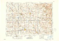
1957 · Mason City
USGS Topo · 1:250,000
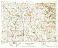
1958 · Mason City
USGS Topo · 1:250,000
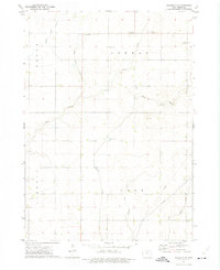
1972 · Kanawha SE
USGS Topo · 1:24,000
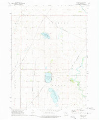
1972 · Cornelia
USGS Topo · 1:24,000
1972 · Kanawha
USGS Topo · 1:24,000
1972 · Olaf
USGS Topo · 1:24,000
1972 · Belmond
USGS Topo · 1:24,000