2022 Map of Olaf
USGS Topo · Published 2022About this map
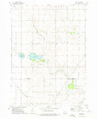
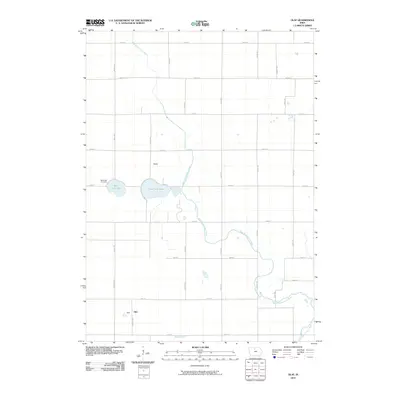
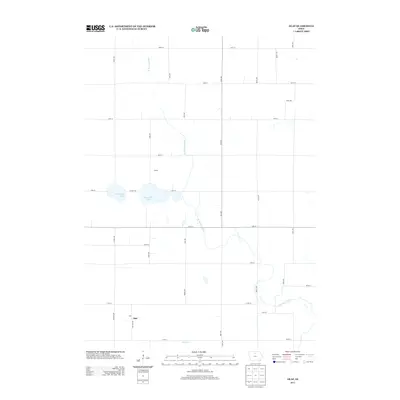
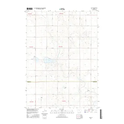
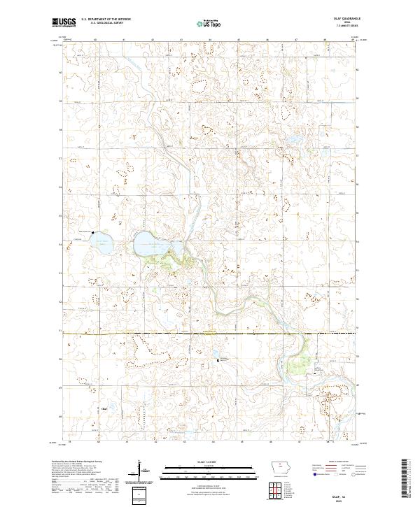
Olaf sits at the intersection of Co RD r38 and 120th ST in this rural landscape near the Hancock and Wright County line. The geography is defined by a series of kettle lakes and meandering waterways, notably the West Twin Lake and East Twin Lake system which feeds the headwaters of the West Branch Iowa River. These water features are surrounded by a rigid grid of township roads named after trees and families, including Oak Ave, Palm Ave, and Nelson Ave. Local genealogy is anchored by several small burial sites tucked into the agricultural sections, such as the West Lake Cem, Hickory Grove Cem, and the private Simenson Family Plot. The map illustrates the persistent agricultural character of the region, where the natural hydrology of Eagle Cr and the river branches dictate the modern road and property layout.
Find a feature on this map
39 named features on this map. Tap any name to fly to it.
Don’t see what you’re looking for? This feature index may not catch every label — zoom into the map to look around manually.
Map Details
Editions of this 2022 Olaf Map
This is the sole edition of this map. No revisions or reprints were ever made.
Historical Maps of Olaf Through Time
6 maps found