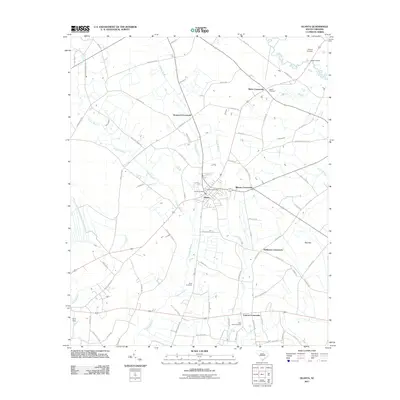
2011 Map of Olanta
USGS Topo · Published 2011About this map
Olanta serves as the central hub of this Florence County landscape, characterized by a series of significant highway intersections known as crossroads. The rural character of the area is defined by the extensive Douglas Swamp and various drainage branches like Cypress Branch and Burnt Branch that weave between agricultural tracts. Local history is anchored by several burial grounds, including Bethany Cemetery in the north and Rush Cemetery further south, providing essential landmarks for genealogists. The road network connects established points like Norwood Crossroads and Mimms Crossroads, reflecting a settlement pattern built around these historic transport junctions. To the southeast, the terrain transitions into Pats Bay, while the Lynches River clips the northeastern corner near Welsh Bridge, marking the edge of this South Carolina coastal plain region.
Find a feature on this map
80 named features on this map. Tap any name to fly to it.
Don’t see what you’re looking for? This feature index may not catch every label — zoom into the map to look around manually.
Map Details
Editions of this 2011 Olanta Map
This is the sole edition of this map. No revisions or reprints were ever made.
Other maps of this area

1920 · Mayesville
USGS Topo · 1:48,000

1921 · Mayesville
USGS Topo · 1:62,500

1940 · Florence West
USGS Topo · 1:62,500

1941 · Spartanburg
USGS Topo · 1:250,000

1943 · Mayesville
USGS Topo · 1:62,500

1945 · Florence West
USGS Topo · 1:62,500

1946 · Lake City
USGS Topo · 1:62,500

1949 · Georgetown
USGS Topo · 1:250,000

1953 · Florence
USGS Topo · 1:250,000

1953 · Spartanburg
USGS Topo · 1:250,000