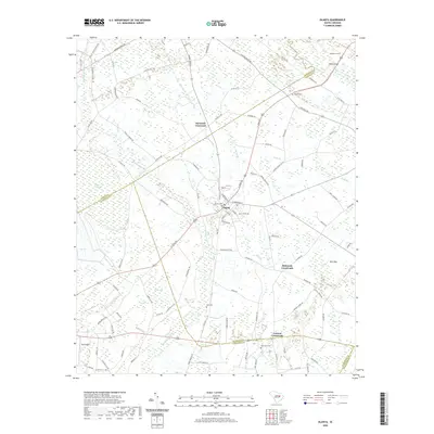
2020 Map of Olanta
USGS Topo · Published 2020About this map
The town of Olanta sits at the nexus of a low-lying landscape defined by complex water systems and traditional Carolina bays. The geography is dominated by Douglas Swamp and the meandering Lynches River, which forms a natural boundary in the northeast. Numerous oval depressions known as bays, including Woods Bay, Dial Bay, Fuller Bay, and Pats Bay, dot the terrain, illustrating the unique geological character of the Coastal Plain. Small watercourses like Cypress Br and Burnt Br weave through the agricultural and wooded plots between these wetland features.
Find a feature on this map
109 named features on this map. Tap any name to fly to it.
Don’t see what you’re looking for? This feature index may not catch every label — zoom into the map to look around manually.
Map Details
Editions of this 2020 Olanta Map
This is the sole edition of this map. No revisions or reprints were ever made.
Other maps of this area

1920 · Mayesville
USGS Topo · 1:48,000

1921 · Mayesville
USGS Topo · 1:62,500

1940 · Florence West
USGS Topo · 1:62,500

1941 · Spartanburg
USGS Topo · 1:250,000

1943 · Mayesville
USGS Topo · 1:62,500

1945 · Florence West
USGS Topo · 1:62,500

1946 · Lake City
USGS Topo · 1:62,500

1949 · Georgetown
USGS Topo · 1:250,000

1953 · Florence
USGS Topo · 1:250,000

1953 · Spartanburg
USGS Topo · 1:250,000