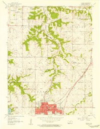
1956 Map of Olathe
USGS Topo · Published 1958About this map
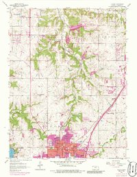
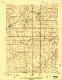
Olathe serves as the central hub of this mid-century landscape, positioned at a significant intersection of the Atchison Topeka and Santa Fe and St Louis San Francisco railroads. The map reveals a transition from the urbanizing core of the city to the rural townships of Monticello and Shawnee. Educational institutions are remarkably well-documented, with numerous local schoolhouses including Sunlight Sch, Meadowlane Sch, and the State Sch within the city limits. The terrain is defined by the drainage patterns of Coon Creek and Cedar Creek, while New Olathe Lake appears as a notable water feature to the southwest. Cultural markers such as the Grange Hall and Monticello Ch reflect the community structure of Johnson County before the era of intensive suburban expansion.
Find a feature on this map
35 named features on this map. Tap any name to fly to it.
Don’t see what you’re looking for? This feature index may not catch every label — zoom into the map to look around manually.
Map Details
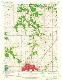
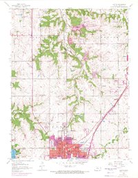
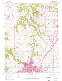
Editions of this 1956 Olathe Map
5 editions found
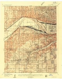
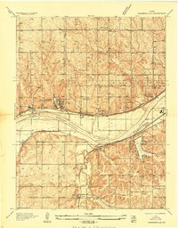
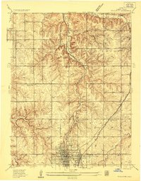
Other maps of this area

1887 · Olathe
USGS Topo · 1:125,000

1890 · Kansas City
USGS Topo · 1:125,000

1893 · Olathe
USGS Topo · 1:125,000

1894 · Kansas City
USGS Topo · 1:125,000

1934 · Bonner Springs
USGS Topo · 1:48,000
1934 · Shawnee
USGS Topo · 1:24,000
1934 · Edwardsville
USGS Topo · 1:24,000
1935 · Olathe
USGS Topo · 1:24,000
1935 · Lenexa
USGS Topo · 1:24,000

1940 · Bonner Springs
USGS Topo · 1:62,500