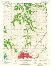
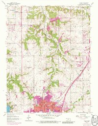
1956 Map of Olathe
USGS Topo · Published 1965About this map
The mid-century layout of Olathe is anchored by a dense network of civic institutions and educational facilities including the State Sch, Lincoln Sch, and Central Sch. The city serves as a vital junction where the Atchison Topeka and Santa Fe and St Louis San Francisco railroads intersect, shaping the industrial and residential corridors of the era. This 1956 revision captures the landscape before the significant suburban expansion of the following decades, showing smaller outlying settlements like Monticello and Lenexa as distinct communities separated by open farmland.
Find a feature on this map
44 named features on this map. Tap any name to fly to it.
Don’t see what you’re looking for? This feature index may not catch every label — zoom into the map to look around manually.
Map Details
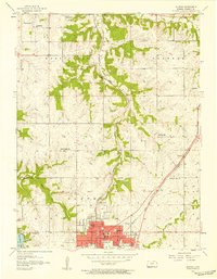
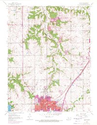
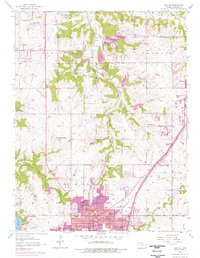
Editions of this 1956 Olathe Map
5 editions found
Other maps of this area

1887 · Olathe
USGS Topo · 1:125,000

1890 · Kansas City
USGS Topo · 1:125,000

1893 · Olathe
USGS Topo · 1:125,000

1894 · Kansas City
USGS Topo · 1:125,000

1934 · Bonner Springs
USGS Topo · 1:48,000

1934 · Shawnee
USGS Topo · 1:24,000

1934 · Edwardsville
USGS Topo · 1:24,000

1935 · Olathe
USGS Topo · 1:24,000

1935 · Lenexa
USGS Topo · 1:24,000

1940 · Bonner Springs
USGS Topo · 1:62,500