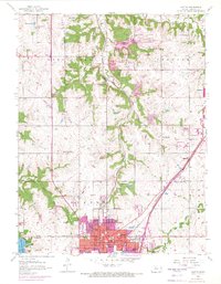
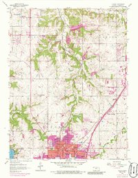
1956 Map of Olathe
USGS Topo · Published 1971About this map
The Kansas landscape south of Monticello reveals a region in rapid transition during the mid-century, where the historic Santa Fe Trail and the tracks of the Atchison Topeka and Santa Fe intersect with burgeoning post-war suburban growth. In Olathe, a dense cluster of schools such as Central Sch, Washington Sch, and Lincoln Sch indicates a growing population center, while the County Farm and Grange Hall to the north reflect the area's deeper agricultural roots. The presence of purple-tinted urban extensions around Lenexa and Lackmans highlights the outward creep of the Kansas City metro area into former farmland.
Find a feature on this map
39 named features on this map. Tap any name to fly to it.
Don’t see what you’re looking for? This feature index may not catch every label — zoom into the map to look around manually.
Map Details
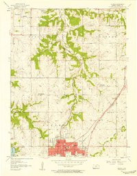
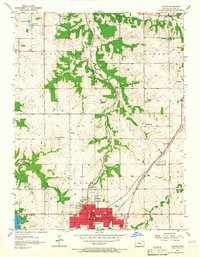
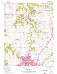
Editions of this 1956 Olathe Map
5 editions found
Other maps of this area

1887 · Olathe
USGS Topo · 1:125,000

1890 · Kansas City
USGS Topo · 1:125,000

1893 · Olathe
USGS Topo · 1:125,000

1894 · Kansas City
USGS Topo · 1:125,000

1934 · Bonner Springs
USGS Topo · 1:48,000

1934 · Shawnee
USGS Topo · 1:24,000

1934 · Edwardsville
USGS Topo · 1:24,000

1935 · Olathe
USGS Topo · 1:24,000

1935 · Lenexa
USGS Topo · 1:24,000

1940 · Bonner Springs
USGS Topo · 1:62,500