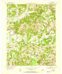
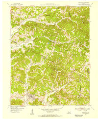
1954 Map of Olaton
USGS Topo · Published 1955About this map
The Illinois Central railroad defines the transportation corridor of this mid-century Kentucky landscape, following the winding valley of the Rough River. The settlement of Olaton and the nearby Davidson Sta serve as focal points for a rural community characterized by numerous small country churches and schools. Local heritage is preserved in the placement of the New Baymus Ch and its accompanying New Baymus Cem, alongside the St Johns Ch and Cedar Grove Ch.
Find a feature on this map
40 named features on this map. Tap any name to fly to it.
Don’t see what you’re looking for? This feature index may not catch every label — zoom into the map to look around manually.
Map Details
Editions of this 1954 Olaton Map
Other maps of this area

1907 · Whitesville
USGS Topo · 1:62,500

1909 · Whitesville
USGS Topo · 1:62,500

1909 · Hartford
USGS Topo · 1:62,500

1925 · Spring Lick
USGS Topo · 1:62,500

1932 · Fordsville
USGS Topo · 1:62,500

1953 · Dundee
USGS Topo · 1:24,000

1953 · Whitesville
USGS Topo · 1:24,000

1953 · Falls Of Rough
USGS Topo · 1:24,000
1953 · Glen Dean
USGS Topo · 1:24,000
1953 · Fordsville
USGS Topo · 1:24,000