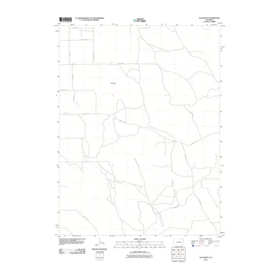
2010 Map of Old Baldy
USGS Topo · Published 2010About this map
Old Baldy rises as the central topographic landmark in this section of Yuma County, Colorado. The landscape is defined by an intricate network of rural routes that crisscross the plains, including County Rd-55 and County Rd V in the north. This 2010 survey illustrates the organized township and range grid that governs the region, where roads like County Rd-52 and County Rd-51 follow sectional lines while others deviate to navigate the local drainage patterns. The map provides a detailed view of the modern rural infrastructure, showing how secondary paths such as County Rd Z and County Rd 48 connect isolated points across the high plains environment.
Find a feature on this map
14 named features on this map. Tap any name to fly to it.
Don’t see what you’re looking for? This feature index may not catch every label — zoom into the map to look around manually.
Map Details
Editions of this 2010 Old Baldy Map
This is the sole edition of this map. No revisions or reprints were ever made.
Other maps of this area

1954 · Sterling
USGS Topo · 1:250,000

1958 · Sterling
USGS Topo · 1:250,000

1971 · Fiddler Peak
USGS Topo · 1:24,000

1971 · Wauneta NE
USGS Topo · 1:24,000

1971 · Clarkville NE
USGS Topo · 1:24,000

1971 · Yuma NE
USGS Topo · 1:24,000

1971 · Wauneta
USGS Topo · 1:24,000

1971 · Eckley NE
USGS Topo · 1:24,000

1971 · Clarkville SE
USGS Topo · 1:24,000

1971 · Old Baldy
USGS Topo · 1:24,000