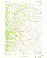
1969 Map of Old Canyon
USGS Topo · Published 1973About this map
Twin Peaks and Monument Peak anchor this high-elevation landscape in Rich County, where the topography of the Cache National Forest is defined by a series of deep drainages. Numerous named canyons, including Laketown Canyon, New Canyon, and Pole Canyon, cut through the terrain toward the east. The water network is particularly dense for this arid region, featuring a high concentration of named springs such as Key Spring, Clawson Spring, and Longhurst Spring, alongside the Nick Reservoir and Lodgepole Reservoir. This pattern of named water sources suggests the area's importance for local livestock grazing and water management in the late 1960s. Transportation is limited to a remote Jeep Trail winding through Old Canyon, reflecting the area's primary use for forest management and seasonal access rather than permanent settlement.
Find a feature on this map
26 named features on this map. Tap any name to fly to it.
Don’t see what you’re looking for? This feature index may not catch every label — zoom into the map to look around manually.
Map Details
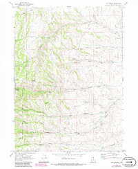
Editions of this 1969 Old Canyon Map
2 editions found
Other maps of this area

1912 · Randolph
USGS Topo · 1:125,000

1954 · Ogden
USGS Topo · 1:250,000

1958 · Ogden
USGS Topo · 1:250,000

1960 · Ogden
USGS Topo · 1:250,000

1968 · Randolph
USGS Topo · 1:24,000

1968 · Woodruff
USGS Topo · 1:24,000
1969 · Birch Creek Reservoirs
USGS Topo · 1:24,000
1969 · Curtis Ridge
USGS Topo · 1:24,000
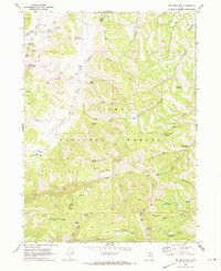
1969 · Red Spur Mtn
USGS Topo · 1:24,000
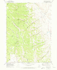
1969 · Meadowville
USGS Topo · 1:24,000