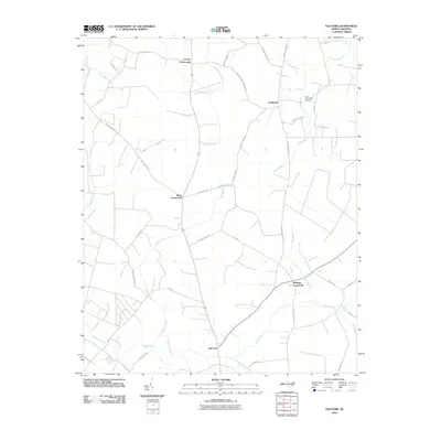
2010 Map of Old Ford
USGS Topo · Published 2010About this map
Old Ford and a series of rural hubs including Batts Crossroads define the landscape of this 2010 coastal plain survey. The settlement pattern is deeply influenced by the intricate hydrology of the region, where numerous named wetlands like Big Swamp, Jacks Swamp, and Horsepen Swamp separate the arable land and road networks. The layout of rural routes such as Voa RD and Smithwick Creek Church Rd suggests a community organized around family-named junctions and agrarian commerce. For genealogists, the Tices Community Cemetery near Smithwick provides a specific point of interest, while the drainage patterns of Smithwick Creek and Latham Creek reveal how water has historically dictated the boundaries of local movement and settlement in this portion of Beaufort County.
Find a feature on this map
48 named features on this map. Tap any name to fly to it.
Don’t see what you’re looking for? This feature index may not catch every label — zoom into the map to look around manually.
Map Details
Editions of this 2010 Old Ford Map
This is the sole edition of this map. No revisions or reprints were ever made.
Other maps of this area

1901 · Williamston
USGS Topo · 1:62,500

1902 · Williamston
USGS Topo · 1:62,500

1903 · Chocowinity
USGS Topo · 1:62,500

1905 · Chocowinity
USGS Topo · 1:62,500

1943 · Plymouth
USGS Topo · 1:125,000

1951 · Bunyan
USGS Topo · 1:24,000

1951 · Washington
USGS Topo · 1:24,000

1953 · Rocky Mount
USGS Topo · 1:250,000

1954 · Rocky Mount
USGS Topo · 1:250,000
1978 · Farmlife
USGS Topo · 1:24,000