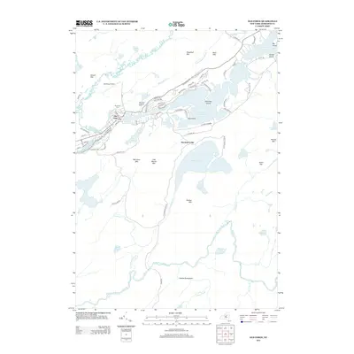
2013 Map of Old Forge
USGS Topo · Published 2013About this map
Old Forge serves as the central hub of this mountain landscape, situated where the Middle Br Moose River meets the Fulton Chain Lakes. The settlement pattern reflects a deeply rooted recreation and tourism economy, anchored by the Old Forge Camping Resort and the Adirondack Scenic RR which follows the river's path. Local institutions like St Bartholomews Ch, Town of Webb Sch, and the Riverview Cem provide a look at the community's civic foundations amid the surrounding peaks.
Find a feature on this map
99 named features on this map. Tap any name to fly to it.
Don’t see what you’re looking for? This feature index may not catch every label — zoom into the map to look around manually.
Map Details
Editions of this 2013 Old Forge Map
This is the sole edition of this map. No revisions or reprints were ever made.
Other maps of this area
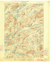
1901 · Old Forge
USGS Topo · 1:62,500
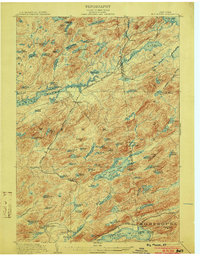
1903 · Big Moose
USGS Topo · 1:62,500
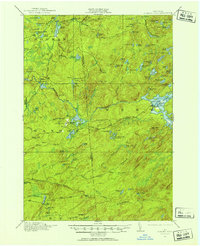
1912 · Number Four
USGS Topo · 1:62,500
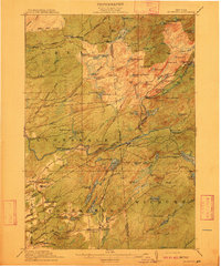
1912 · Mc Keever
USGS Topo · 1:62,500
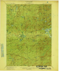
1915 · Number Four
USGS Topo · 1:62,500
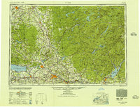
1950 · Utica
USGS Topo · 1:250,000
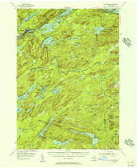
1954 · Old Forge
USGS Topo · 1:62,500
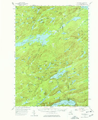
1954 · Big Moose
USGS Topo · 1:62,500
1957 · Utica
USGS Topo · 1:250,000
1957 · Number Four
USGS Topo · 1:62,500