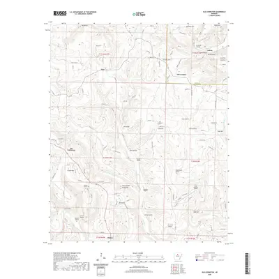
2020 Map of Old Lexington
USGS Topo · Published 2020About this map
Old Lexington and the rural communities of Plant and Old Botkinburg anchor this topographical study of north-central Arkansas. The landscape is defined by a dense network of hollows and ridges, including the appropriately named Schoolhouse Hollow, Church Hollow, and Mill Hollow, which suggest the historic locations of essential community infrastructure. Significant genealogical interest lies in the Holly Mountain Cem and Mountain View Cem, situated on the high ground above the many tributaries feeding Archey Creek.
Find a feature on this map
111 named features on this map. Tap any name to fly to it.
Don’t see what you’re looking for? This feature index may not catch every label — zoom into the map to look around manually.
Map Details
Editions of this 2020 Old Lexington Map
This is the sole edition of this map. No revisions or reprints were ever made.
Other maps of this area

1892 · Marshall
USGS Topo · 1:125,000

1892 · Mountain View
USGS Topo · 1:125,000

1894 · Mountain View
USGS Topo · 1:125,000

1894 · Marshall
USGS Topo · 1:125,000

1901 · Marshall
USGS Topo · 1:125,000

1956 · Russellville
USGS Topo · 1:250,000

1963 · Leslie
USGS Topo · 1:24,000

1964 · Russellville
USGS Topo · 1:250,000
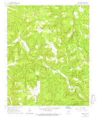
1965 · Botkinburg
USGS Topo · 1:24,000
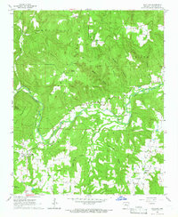
1965 · Scotland
USGS Topo · 1:24,000