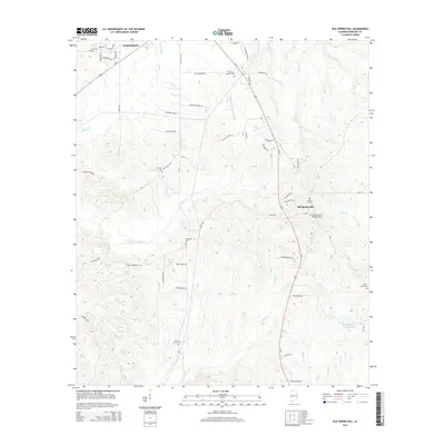
2014 Map of Old Spring Hill
USGS Topo · Published 2014About this map
Old Spring Hill and the southeastern reaches of Demopolis anchor this landscape in Marengo County, where the transition from residential outskirts to agricultural land is marked by several long-standing community landmarks. The topography is defined by a dense network of watercourses including Double Cr, Barton Cr, and the Whitfield Canal Extension, reflecting the importance of water management in this part of Alabama. For genealogists, the map is particularly valuable for its concentration of burial sites, including the Old Spring Hill Methodist Cem, Saint Luke Cem, and Hopewell Cem. The presence of Industrial Park S and Marengo Farms Ln illustrates the modern mix of local commerce and traditional land use, while small water bodies like Lake Miriam and Powell Cr Lake Number Nine dot the rural sections east of Us-43.
Find a feature on this map
67 named features on this map. Tap any name to fly to it.
Don’t see what you’re looking for? This feature index may not catch every label — zoom into the map to look around manually.
Map Details
Editions of this 2014 Old Spring Hill Map
This is the sole edition of this map. No revisions or reprints were ever made.
Other maps of this area

1946 · Demopolis
USGS Topo · 1:24,000

1947 · Demopolis
USGS Topo · 1:24,000

1948 · Mc Dowell
USGS Topo · 1:24,000

1949 · Mc Dowell
USGS Topo · 1:24,000

1953 · Montgomery
USGS Topo · 1:250,000

1956 · Montgomery
USGS Topo · 1:250,000

1957 · Montgomery
USGS Topo · 1:250,000

1968 · Thomaston West
USGS Topo · 1:24,000

1968 · Gallion
USGS Topo · 1:24,000

1970 · Myrtlewood North
USGS Topo · 1:24,000