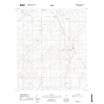
2018 Map of Old Spring Hill
USGS Topo · Published 2018About this map
Old Spring Hill and the southern outskirts of Demopolis anchor this landscape in Marengo County, where the transition from municipal development to rural agricultural land is clearly visible. The area is defined by a dense network of family and community history, evidenced by numerous burial grounds including the Old Spring Hill Methodist Cem, Mount Zion Cem, and Gilfield Cem. Educational and civic infrastructure is represented by the Shelton State Community College - Demopolis Campus near the northern boundary.
Find a feature on this map
52 named features on this map. Tap any name to fly to it.
Don’t see what you’re looking for? This feature index may not catch every label — zoom into the map to look around manually.
Map Details
Editions of this 2018 Old Spring Hill Map
This is the sole edition of this map. No revisions or reprints were ever made.
Other maps of this area
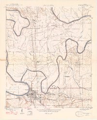
1946 · Demopolis
USGS Topo · 1:24,000
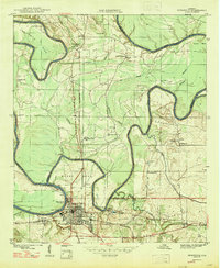
1947 · Demopolis
USGS Topo · 1:24,000
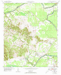
1948 · Mc Dowell
USGS Topo · 1:24,000
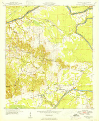
1949 · Mc Dowell
USGS Topo · 1:24,000
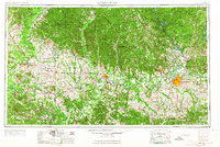
1953 · Montgomery
USGS Topo · 1:250,000
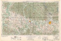
1956 · Montgomery
USGS Topo · 1:250,000
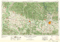
1957 · Montgomery
USGS Topo · 1:250,000
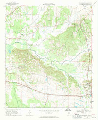
1968 · Thomaston West
USGS Topo · 1:24,000
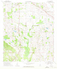
1968 · Gallion
USGS Topo · 1:24,000
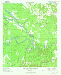
1970 · Myrtlewood North
USGS Topo · 1:24,000