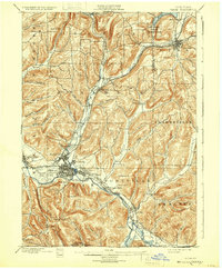
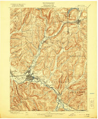
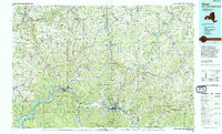
1898 Map of Olean
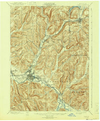
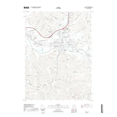
USGS Topo · Published 1932About this map
Olean sits at the nexus of a dense late-19th-century industrial and transport landscape, defined by the winding Allegheny River and a massive concentration of Oil Tanks south of the city. This 1896 survey reveals a region heavily shaped by the Pennsylvania oil boom and railroad expansion, featuring an intricate web of competing lines including the Erie R.R., the Western New York and Penna. R.R., and the Central New York and Western R.R..
Find a feature on this map
68 named features on this map. Tap any name to fly to it.
Don’t see what you’re looking for? This feature index may not catch every label — zoom into the map to look around manually.
Map Details
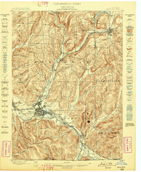
Editions of this 1898 Olean Map
5 editions found
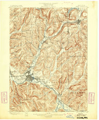
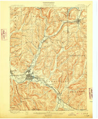
Historical Maps of Olean Through Time
10 maps found
1898 Olean
Cattaraugus County, NY
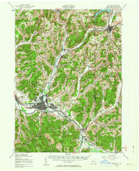
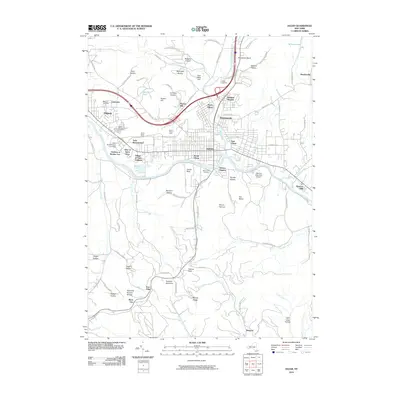
1938 Olean
Cattaraugus County, NY
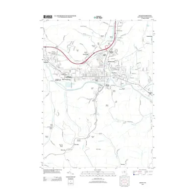
1943 Olean
Cattaraugus County, NY
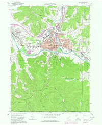
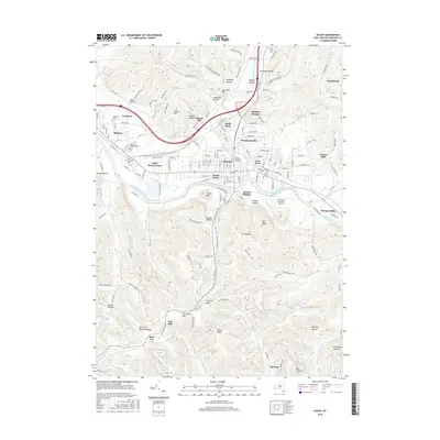
1961 Olean
Cattaraugus County, NY
1986 Olean
Cattaraugus County, NY
2010 Olean
Cattaraugus County, NY
2013 Olean
Cattaraugus County, NY
2016 Olean
Cattaraugus County, NY
2019 Olean
Cattaraugus County, NY

2023 Olean
Cattaraugus County, NY