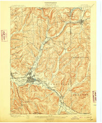
1898 Map of Olean
USGS Topo · Published 1909About this map
The industrial and transportation hub of Olean anchors this late 19th-century landscape, characterized by the dense convergence of the Allegheny River and several major railroads including the Erie R.R. and Penna. R.R.. This survey captures the region during a peak period of resource extraction, clearly marking an extensive field of Oil Tanks just west of the city center. To the north, the Oil Spring Indian Reservation sits near the headwaters of Oil Creek, while the southern hills lead to the distinctive geological formations of Rock City and Flatiron Rock near the New York Penna. Boundary Line. Small lumber and milling settlements like Westons Mills and Mill Grove dot the river valley, connected by the Narrow Gauge Div. rail line that winds through the steep terrain of Portville and Genesee.
Find a feature on this map
76 named features on this map. Tap any name to fly to it.
Don’t see what you’re looking for? This feature index may not catch every label — zoom into the map to look around manually.
Map Details
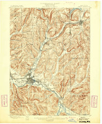
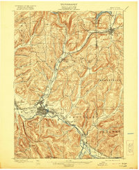
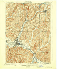
Editions of this 1898 Olean Map
5 editions found
Other maps of this area

1898 · Olean
USGS Topo · 1:62,500

1900 · Salamanca
USGS Topo · 1:62,500

1906 · Angelica
USGS Topo · 1:62,500

1924 · Ellicottville
USGS Topo · 1:62,500

1924 · Bradford
USGS Topo · 1:62,500

1924 · Franklinville
USGS Topo · 1:62,500

1925 · Belmont
USGS Topo · 1:62,500

1926 · Bradford
USGS Topo · 1:62,500

1933 · Smethport
USGS Topo · 1:62,500

1934 · Coudersport
USGS Topo · 1:48,000