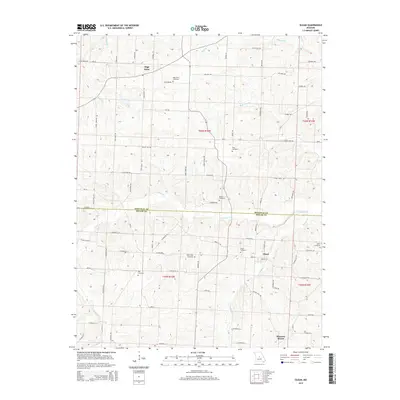
2015 Map of Olean
USGS Topo · Published 2015About this map
Olean and the surrounding rural uplands of Miller and Moniteau Counties are defined by a rolling landscape of creek valleys and scattered hilltop settlements. The area is heavily intersected by local road networks including Mo-Oo and Mo-CC, which connect family-named properties and agricultural tracts. A significant concentration of burial grounds, such as High Point Cemetery and Greenridge Cemetery, suggests long-standing community roots centered around the small crossroads of High Point and the village of Olean.
Find a feature on this map
83 named features on this map. Tap any name to fly to it.
Don’t see what you’re looking for? This feature index may not catch every label — zoom into the map to look around manually.
Map Details
Editions of this 2015 Olean Map
This is the sole edition of this map. No revisions or reprints were ever made.
Other maps of this area
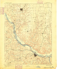
1886 · Jefferson City
USGS Topo · 1:125,000
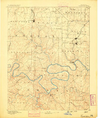
1888 · Versailles
USGS Topo · 1:125,000
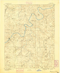
1888 · Tuscumbia
USGS Topo · 1:125,000
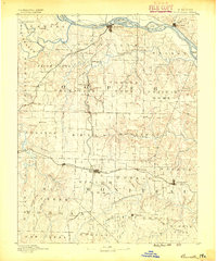
1888 · Boonville
USGS Topo · 1:125,000
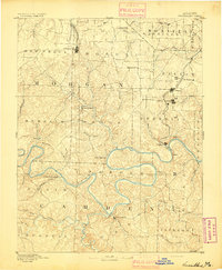
1893 · Versailles
USGS Topo · 1:125,000
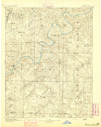
1894 · Tuscumbia
USGS Topo · 1:125,000
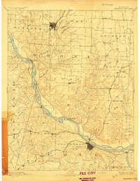
1894 · Jefferson City
USGS Topo · 1:125,000
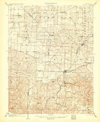
1904 · Eldon
USGS Topo · 1:62,500
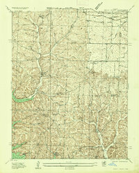
1935 · Rocky Mount
USGS Topo · 1:24,000
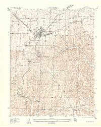
1935 · Eldon
USGS Topo · 1:24,000