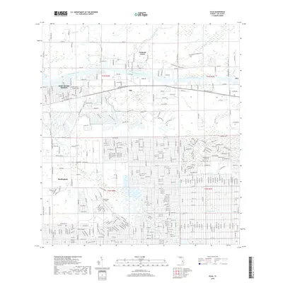
2018 Map of Olga
USGS Topo · Published 2018About this map
The Caloosahatchee River serves as the central artery for this region of Lee County, dividing the developed residential tracts of Fort Myers Shores from the preserved lands of the Caloosahatchee Regional Park. To the south, the landscape is defined by an extensive network of drainage infrastructure, including the Able Canal, W Baker Canal, and George Canal, which frame the residential grids of Buckingham.
Find a feature on this map
359 named features on this map. Tap any name to fly to it.
Don’t see what you’re looking for? This feature index may not catch every label — zoom into the map to look around manually.
Map Details
Editions of this 2018 Olga Map
This is the sole edition of this map. No revisions or reprints were ever made.
Other maps of this area

1956 · Telegraph Swamp
USGS Topo · 1:24,000

1956 · West Palm Beach
USGS Topo · 1:250,000

1957 · West Palm Beach
USGS Topo · 1:250,000

1957 · Tuckers Corner
USGS Topo · 1:24,000

1957 · Telegraph Swamp SE
USGS Topo · 1:24,000

1958 · West Palm Beach
USGS Topo · 1:250,000

1958 · Olga
USGS Topo · 1:24,000

1958 · Alva SW
USGS Topo · 1:24,000

1958 · Fort Myers
USGS Topo · 1:24,000

1958 · Alva
USGS Topo · 1:24,000