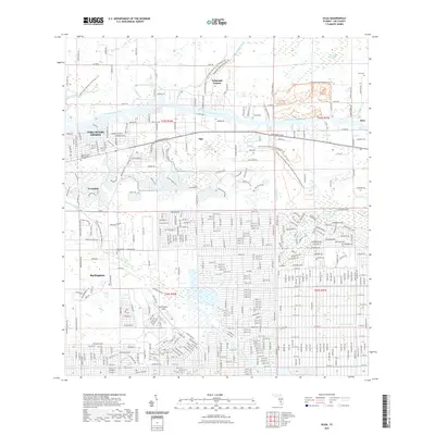
2021 Map of Olga
USGS Topo · Published 2021About this map
The Caloosahatchee River serves as the central artery for this Lee County landscape, dividing the northern settlements of Telegraph Estates and Alva from the expanding residential areas to the south. Historically, the region’s aviation legacy is anchored by Buckingham Field, while the rural character is preserved in the Hickey Creek Mitigation Park Wildlife and Environmental Area. Local history and genealogy are concentrated around the Buckingham Cemetery and Alva Cem, as well as the Saint Vincent DePaul Memory Garden. A complex network of water management features, including the Lehigh Canal and Able Canal, reflects the intensive drainage and development efforts that transformed the terrain surrounding Fort Myers Shores and the community of Verandah along the Orange River.
Find a feature on this map
37 named features on this map. Tap any name to fly to it.
Don’t see what you’re looking for? This feature index may not catch every label — zoom into the map to look around manually.
Map Details
Editions of this 2021 Olga Map
This is the sole edition of this map. No revisions or reprints were ever made.
Other maps of this area

1956 · Telegraph Swamp
USGS Topo · 1:24,000

1956 · West Palm Beach
USGS Topo · 1:250,000

1957 · West Palm Beach
USGS Topo · 1:250,000

1957 · Tuckers Corner
USGS Topo · 1:24,000

1957 · Telegraph Swamp SE
USGS Topo · 1:24,000

1958 · West Palm Beach
USGS Topo · 1:250,000

1958 · Olga
USGS Topo · 1:24,000

1958 · Alva SW
USGS Topo · 1:24,000

1958 · Fort Myers
USGS Topo · 1:24,000

1958 · Alva
USGS Topo · 1:24,000