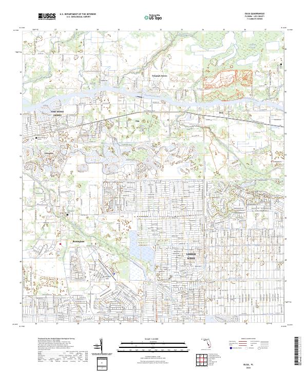
2024 Map of Olga
USGS Topo · Published 2024About this map
The Caloosahatchee River serves as the central artery for this section of Florida, winding between the established riverside community of Alva and the more modern residential grids of Lehigh Acres. The landscape is a study in the intersection of natural drainage and modern civil engineering, where the sprawling Telegraph Swamp and Telegraph Creek meet a complex network of managed waterways including the Able Canal, Lehigh Canal, and George Canal.
Find a feature on this map
34 named features on this map. Tap any name to fly to it.
Don’t see what you’re looking for? This feature index may not catch every label — zoom into the map to look around manually.
Map Details
Editions of this 2024 Olga Map
This is the sole edition of this map. No revisions or reprints were ever made.
Other maps of this area

1956 · Telegraph Swamp
USGS Topo · 1:24,000

1956 · West Palm Beach
USGS Topo · 1:250,000

1957 · West Palm Beach
USGS Topo · 1:250,000

1957 · Tuckers Corner
USGS Topo · 1:24,000

1957 · Telegraph Swamp SE
USGS Topo · 1:24,000

1958 · West Palm Beach
USGS Topo · 1:250,000

1958 · Olga
USGS Topo · 1:24,000

1958 · Alva SW
USGS Topo · 1:24,000

1958 · Fort Myers
USGS Topo · 1:24,000

1958 · Alva
USGS Topo · 1:24,000