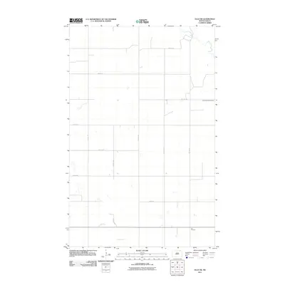
2011 Map of Olga SW
USGS Topo · Published 2011About this map
Tongue River winds through the southern landscape of this 2011 survey, defining the primary drainage for this section of Cavalier County. The map captures a largely agricultural grid, meticulously divided by a network of local roads including 114th Ave NE and 96th St NE. The cultural footprint is sparse but significant for genealogists, featuring only two distinct landmarks: South Pembina Cemetery in the northeast and Zion Cemetery in the southeast. This layout reflects the enduring rural character of northeastern North Dakota, where the placement of these burial grounds and the flow of the river are the primary interruptions to the expansive section lines.
Find a feature on this map
15 named features on this map. Tap any name to fly to it.
Don’t see what you’re looking for? This feature index may not catch every label — zoom into the map to look around manually.
Map Details
Editions of this 2011 Olga SW Map
This is the sole edition of this map. No revisions or reprints were ever made.
Other maps of this area
1953 · Devils Lake
USGS Topo · 1:250,000
1956 · Devils Lake
USGS Topo · 1:250,000
1967 · Langdon East
USGS Topo · 1:24,000
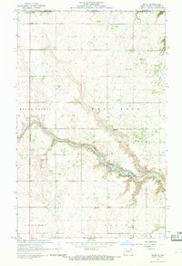
1967 · Maida
USGS Topo · 1:24,000
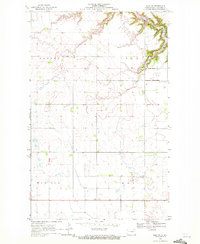
1969 · Olga SW
USGS Topo · 1:24,000
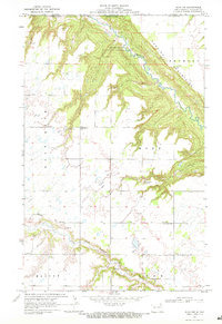
1969 · Olga NW
USGS Topo · 1:24,000
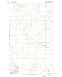
1972 · Osnabrock
USGS Topo · 1:24,000
1972 · Vang
USGS Topo · 1:24,000
1972 · Easby
USGS Topo · 1:24,000
1972 · Milton
USGS Topo · 1:24,000