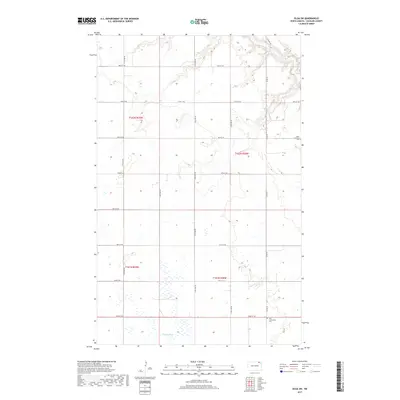
2017 Map of Olga SW
USGS Topo · Published 2017About this map
Little South Pembina River carves through the northeastern corner of this Cavalier County landscape, creating a distinct break in the otherwise orderly section lines of the Public Land Survey System. In this portion of North Dakota, the landscape is defined by the transition between the rolling uplands of t162n r58w and the riparian corridors of the Tongue River to the south. Historically significant sites for genealogists include the South Pembina Cem and the Zion Community Cem, which serve as quiet markers of the rural families who established this agricultural community. The grid of section roads, including Co Rd 39 and 116th Ave NE, facilitates a highly organized farm-to-market network that has persisted through the decades, connecting isolated farmsteads with the regional centers beyond the quadrangle's borders.
Find a feature on this map
22 named features on this map. Tap any name to fly to it.
Don’t see what you’re looking for? This feature index may not catch every label — zoom into the map to look around manually.
Map Details
Editions of this 2017 Olga SW Map
This is the sole edition of this map. No revisions or reprints were ever made.
Other maps of this area
1953 · Devils Lake
USGS Topo · 1:250,000
1956 · Devils Lake
USGS Topo · 1:250,000
1967 · Langdon East
USGS Topo · 1:24,000
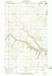
1967 · Maida
USGS Topo · 1:24,000
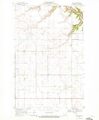
1969 · Olga SW
USGS Topo · 1:24,000
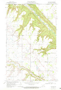
1969 · Olga NW
USGS Topo · 1:24,000
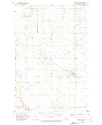
1972 · Osnabrock
USGS Topo · 1:24,000
1972 · Vang
USGS Topo · 1:24,000
1972 · Easby
USGS Topo · 1:24,000
1972 · Milton
USGS Topo · 1:24,000