
1943 Map of Olin
USGS Topo · Published 1943About this map
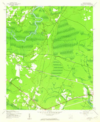
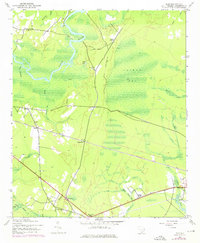
The Black River snakes through the dense Lowcountry landscape in this 1943 survey, marking a terrain defined by extensive wetlands like Gapway Bay and Brightman Swamp. This era of Georgetown County history is characterized by small, dispersed rural settlements and a reliance on established land routes such as Pea House Ferry Road and Gapway Road. The Seaboard Air Line railroad cuts through the center of the quadrangle, serving as a vital industrial artery with dedicated stops at Sampit Station and the namesake crossing at Olin Bridge.
Find a feature on this map
40 named features on this map. Tap any name to fly to it.
Don’t see what you’re looking for? This feature index may not catch every label — zoom into the map to look around manually.
Map Details
Editions of this 1943 Olin Map
3 editions found
Other maps of this area

1942 · Cedar Creek
USGS Topo · 1:24,000

1943 · Carvers Bay
USGS Topo · 1:24,000

1943 · Kilsock Bay
USGS Topo · 1:24,000

1943 · Rhems
USGS Topo · 1:24,000

1943 · Andrews
USGS Topo · 1:24,000

1943 · Georgetown North
USGS Topo · 1:24,000

1943 · Georgetown South
USGS Topo · 1:24,000

1946 · Indiantown
USGS Topo · 1:62,500

1947 · Georgetown South
USGS Topo · 1:24,000

1949 · Georgetown
USGS Topo · 1:250,000