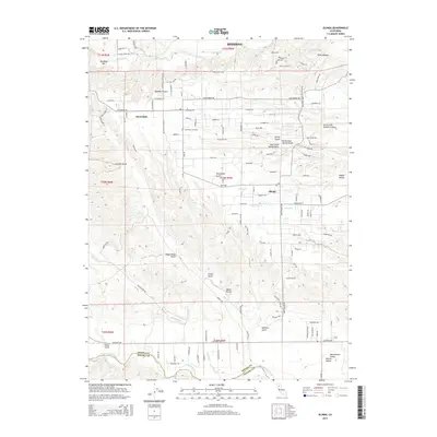
2015 Map of Olinda
USGS Topo · Published 2015About this map
Cloverdale and Olinda sit within a landscape defined by complex drainage systems and canyon terrain south of Redding. The area is marked by numerous historically named gulches that suggest early land use and industry, such as Coal Pit Gulch, Wagon Road Gulch, and Telephone Gulch. Near the northern border, Readings Bar on Clear Creek marks a significant point in the region's historical geography, while Cloverdale Cemetery provides a genealogical anchor for local family research. The terrain transitions toward the Sacramento Valley Central Valley in the south, where Cottonwood Creek crosses the Shasta County and Tehama County line. This survey details a network of rural roads, including Happy Valley Road and China Gulch Drive, that connect these communities across the ridges and seasonal creek beds like Antelope Creek and Anderson Creek.
Find a feature on this map
127 named features on this map. Tap any name to fly to it.
Don’t see what you’re looking for? This feature index may not catch every label — zoom into the map to look around manually.
Map Details
Editions of this 2015 Olinda Map
This is the sole edition of this map. No revisions or reprints were ever made.
Other maps of this area
1890 · Red Bluff
USGS Topo · 1:250,000
1894 · Red Bluff
USGS Topo · 1:250,000
1901 · Redding
USGS Topo · 1:125,000
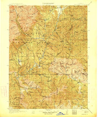
1913 · Weaverville
USGS Topo · 1:125,000
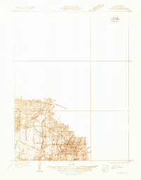
1932 · Olinda
USGS Topo · 1:31,680
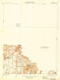
1935 · Olinda
USGS Topo · 1:31,680
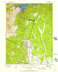
1944 · Redding
USGS Topo · 1:62,500
1944 · French Gulch
USGS Topo · 1:62,500
1946 · Redding
USGS Topo · 1:62,500
1947 · Anderson
USGS Topo · 1:62,500