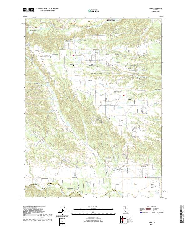
2021 Map of Olinda
USGS Topo · Published 2021About this map
Olinda and Happy Valley anchor this landscape south of Redding, where the complex drainage systems of the Northern Sacramento Valley meet the foothills. The map reveals a dense network of gulches and canyons, such as China Gulch, Wagon Road Gulch, and Coal Pit Gulch, which suggest a history of resource extraction and transit through the undulating terrain. To the north, Clear Creek and Readings Bar mark significant water features, while the southern boundary follows the winding course of Cottonwood Creek along the Shasta and Tehama County line.
Find a feature on this map
127 named features on this map. Tap any name to fly to it.
Don’t see what you’re looking for? This feature index may not catch every label — zoom into the map to look around manually.
Map Details
Editions of this 2021 Olinda Map
This is the sole edition of this map. No revisions or reprints were ever made.
Other maps of this area

1890 · Red Bluff
USGS Topo · 1:250,000

1894 · Red Bluff
USGS Topo · 1:250,000

1901 · Redding
USGS Topo · 1:125,000

1913 · Weaverville
USGS Topo · 1:125,000

1932 · Olinda
USGS Topo · 1:31,680

1935 · Olinda
USGS Topo · 1:31,680

1944 · Redding
USGS Topo · 1:62,500

1944 · French Gulch
USGS Topo · 1:62,500

1946 · Redding
USGS Topo · 1:62,500

1947 · Anderson
USGS Topo · 1:62,500