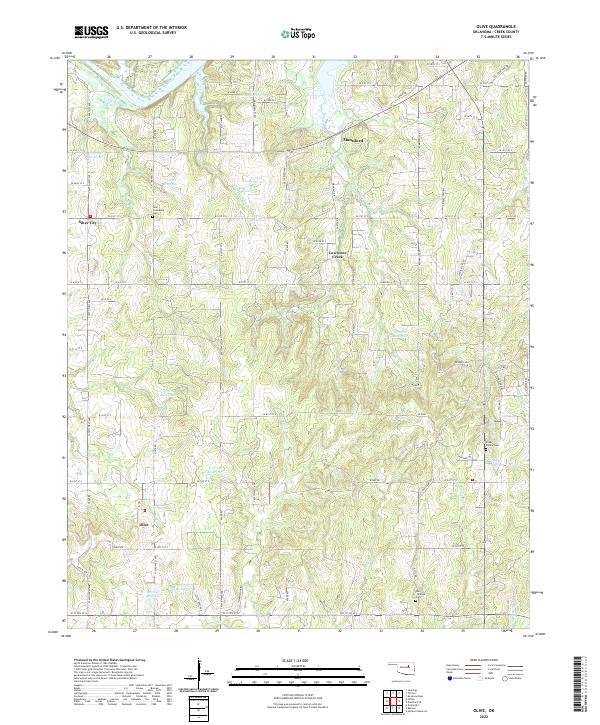
2022 Map of Olive
USGS Topo · Published 2022About this map
The Cimarron River flows across the northern edge of this territory, where the settlement of Mannford sits along the riverbank near the modern intersection of Old State Hwy 48. Moving south, the landscape is defined by a dense network of tributaries including Sand Cr and Cottonwood Cr that feed into the larger river system. The small community of Olive is situated in the southwestern corner, serving as a local hub for the surrounding ranching and agricultural lands. Genealogy researchers will find significant value in the placement of the New Friendship Cem near Silver City and the more secluded Foster Family Cem located near Little Salt Cr. The map reveals a highly developed system of water management, illustrated by numerous numbered reservoirs like 037009 Reservoir and 037015 Reservoir, which supported the rural economy and land use during this period.
Find a feature on this map
49 named features on this map. Tap any name to fly to it.
Don’t see what you’re looking for? This feature index may not catch every label — zoom into the map to look around manually.
Map Details
Editions of this 2022 Olive Map
This is the sole edition of this map. No revisions or reprints were ever made.
Other maps of this area

1901 · Nuyaka
USGS Topo · 1:125,000

1912 · Hominy
USGS Topo · 1:125,000

1915 · Hominy
USGS Topo · 1:125,000

1916 · Bristow
USGS Topo · 1:62,500

1929 · Yale
USGS Topo · 1:62,500

1931 · Drumright
USGS Topo · 1:62,500

1932 · Yale
USGS Topo · 1:62,500

1954 · Oklahoma City
USGS Topo · 1:250,000

1955 · Enid
USGS Topo · 1:250,000

1957 · Oklahoma City
USGS Topo · 1:250,000