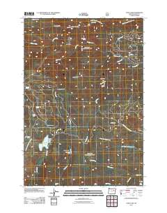
2011 Map of Olive Lake
USGS Topo · Published 2011About this map
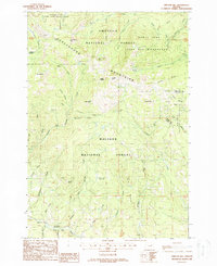
Olive Lake and its associated Olive Lake Dam form the centerpiece of this high-country landscape in the early 21st century. The terrain is defined by a dense network of drainages including Granite Creek, Rabbit Creek, and the North Fork John Day River, which cut through prominent landforms like Rabbit Butte and Sheep Rock. This area reveals a history of both resource extraction and backcountry recreation, evidenced by the presence of the Gutridge Mine and Gold Bug Mine alongside numerous established outposts such as Oregon Gulch Camp, Saddle Camp, and Rock Spring Camp. The inclusion of the Lon Krise Cabin near Clear Creek provides a specific point of interest for local historians and those tracing the human footprint in this corner of the Blue Mountains.
Find a feature on this map
39 named features on this map. Tap any name to fly to it.
Don’t see what you’re looking for? This feature index may not catch every label — zoom into the map to look around manually.
Map Details
Editions of this 2011 Olive Lake Map
This is the sole edition of this map. No revisions or reprints were ever made.
Other maps of this area
1901 · Sumpter
USGS Topo · 1:125,000
1951 · Bates
USGS Topo · 1:62,500
1951 · Desolation Butte
USGS Topo · 1:62,500

1955 · Canyon City
USGS Topo · 1:250,000

1959 · Canyon City
USGS Topo · 1:250,000
1972 · Trout Meadows
USGS Topo · 1:24,000
1972 · Granite
USGS Topo · 1:24,000
1972 · Greenhorn
USGS Topo · 1:24,000
1987 · Bates
USGS Topo · 1:100,000
1988 · Vinegar Hill
USGS Topo · 1:24,000