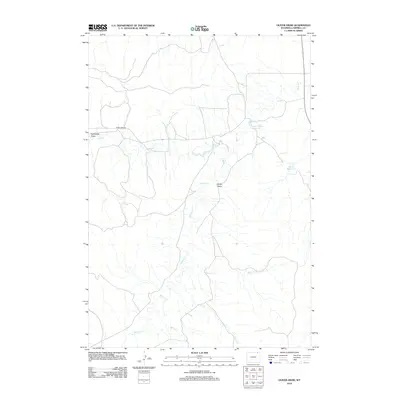
2012 Map of Oliver Draw
USGS Topo · Published 2012About this map
Shober Number 1 Reservoir and the drainage of Horse Cr characterize this portion of Campbell County, where the high plains landscape is defined by its seasonal water sources and ranching infrastructure. The land is scored by prominent topographical depressions like Oliver Draw and Northwest Draw, which guide the flow of several intermittent tributaries including Wildcat Cr and Short Cr. In this sparsely populated region, human impact is marked primarily by isolated water management features such as Vaugh Reservoir and a network of unpaved local roads. Horse Creek Rd provides the primary east-west access through the area, linking together the various creeks—Logan Cr and Spring Cr—that serve as the vital lifeblood for this high-desert environment.
Find a feature on this map
10 named features on this map. Tap any name to fly to it.
Don’t see what you’re looking for? This feature index may not catch every label — zoom into the map to look around manually.
Map Details
Editions of this 2012 Oliver Draw Map
This is the sole edition of this map. No revisions or reprints were ever made.
Other maps of this area

1954 · Gillette
USGS Topo · 1:250,000

1955 · Gillette
USGS Topo · 1:250,000

1958 · Gillette
USGS Topo · 1:250,000

1962 · Gillette
USGS Topo · 1:250,000
1971 · Pitch Draw
USGS Topo · 1:24,000
1971 · White Tail Butte
USGS Topo · 1:24,000
1971 · Calf Creek
USGS Topo · 1:24,000
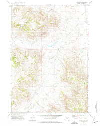
1972 · Oliver Draw
USGS Topo · 1:24,000
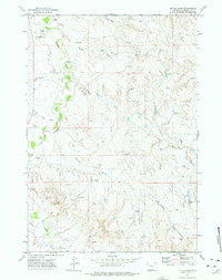
1972 · Tuttle Draw
USGS Topo · 1:24,000
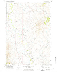
1972 · Weston
USGS Topo · 1:24,000