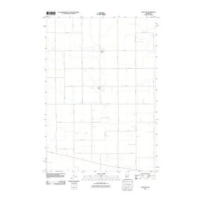
2010 Map of Olivia SE
USGS Topo · Published 2010About this map
Agricultural patterns and deep-rooted community anchors define this portion of Renville County. The landscape is organized by a precise grid of rural routes, including 880th Ave and 430th St, which facilitate the movement of goods and people across the plains. Central to the social and spiritual life of the area are the United Church of Hope and Saint John's Lutheran churches, each accompanied by its own burial ground. The presence of the United Church of Hope Cemetery and Saint John's Lutheran Cemetery provides significant points of interest for genealogists tracing family histories in this part of Minnesota. Major transportation arteries like County Hwy-16 and County Hwy-3 cut through the geometric fields, connecting these remote parishes to larger regional hubs.
Find a feature on this map
28 named features on this map. Tap any name to fly to it.
Don’t see what you’re looking for? This feature index may not catch every label — zoom into the map to look around manually.
Map Details
Editions of this 2010 Olivia SE Map
This is the sole edition of this map. No revisions or reprints were ever made.
Other maps of this area

1952 · Morton
USGS Topo · 1:62,500

1953 · New Ulm
USGS Topo · 1:250,000

1957 · New Ulm
USGS Topo · 1:250,000

1957 · Olivia
USGS Topo · 1:62,500

1958 · New Ulm
USGS Topo · 1:250,000

1964 · Hector
USGS Topo · 1:24,000

1967 · New Ulm
USGS Topo · 1:250,000

1967 · Churchill
USGS Topo · 1:24,000
1967 · Cosmos
USGS Topo · 1:24,000
1982 · Olivia SE
USGS Topo · 1:24,000