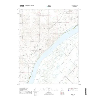
2018 Map of Olmsted
USGS Topo · Published 2018About this map
The Ohio River dominates the landscape at the border of Illinois and Kentucky, carving a wide path past the riverfront communities of Olmsted and Levings. This reach of the river is characterized by the massive civil engineering of the Olmsted Dam Rd and its modern infrastructure, which replaced the aging structures like Dam 53 Rd. To the southeast, the bottomlands of Oscar Bottoms and Barlow Bottoms reveal a dense network of sloughs and lakes, including Shelby Lake, Turkey Lake, and Beaverdam Lake, showing the complex hydrology of the floodplain before it transitions into the upland bluffs of Pulaski Co and Ballard Co.
Find a feature on this map
105 named features on this map. Tap any name to fly to it.
Don’t see what you’re looking for? This feature index may not catch every label — zoom into the map to look around manually.
Map Details
Editions of this 2018 Olmsted Map
This is the sole edition of this map. No revisions or reprints were ever made.
Other maps of this area
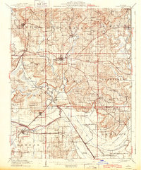
1918 · Vienna
USGS Topo · 1:62,500
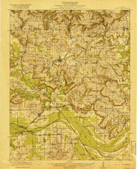
1919 · Vienna
USGS Topo · 1:62,500
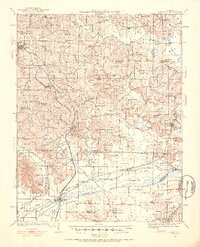
1920 · Dongola
USGS Topo · 1:62,500
1923 · Dongola
USGS Topo · 1:62,500
1928 · La Center
USGS Topo · 1:62,500
1931 · Cairo
USGS Topo · 1:62,500
1932 · La Center
USGS Topo · 1:62,500
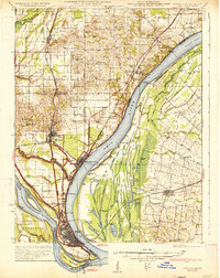
1933 · Cairo
USGS Topo · 1:62,500
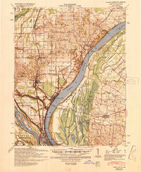
1939 · Cairo
USGS Topo · 1:62,500
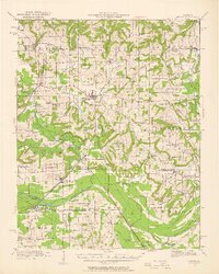
1942 · Vienna
USGS Topo · 1:62,500