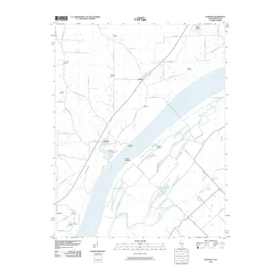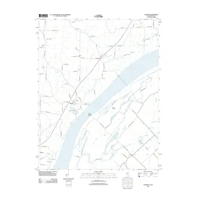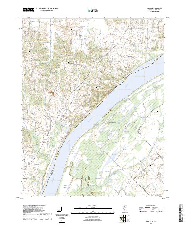
2024 Map of Olmsted
USGS Topo · Published 2024About this map
The Ohio River serves as the dominant geographic and jurisdictional boundary on this map, separating Pulaski County in Illinois from Ballard County in Kentucky. The Illinois side is characterized by the upland settlements of Olmsted, Levings, and the aptly named America, while the Kentucky side across the river is defined by the vast wetlands of Oscar Bottoms and Barlow Bottoms. This riverine landscape is dotted with a complex network of backwater lakes and sloughs, such as Beaverdam Slough, Turkey Lake, and Burnt Slough Lake, illustrating the dynamic hydrological environment of the river valley.
Find a feature on this map
84 named features on this map. Tap any name to fly to it.
Don’t see what you’re looking for? This feature index may not catch every label — zoom into the map to look around manually.
Map Details
Editions of this 2024 Olmsted Map
This is the sole edition of this map. No revisions or reprints were ever made.
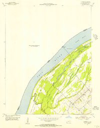
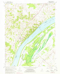
Historical Maps of Olmsted Through Time
8 maps found