
Loading...
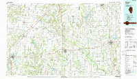
Loading map...1986 Map of Olney
USGS Topo · Published 1986About this map
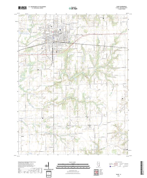
The Little Wabash River and Skillet Fork define the drainage of this south-central Illinois landscape, where the prairie transitions into a network of small agricultural settlements and conservation lands. The mid-1980s layout shows a region heavily influenced by its rail corridors, with the Baltimore and Ohio and Illinois Central lines connecting towns like Kinmundy and Farina. These railroads historically dictated the growth of local grain-handling centers and rural hubs such as Bible Grove and Oskaloosa.
Find a feature on this map
198 named features on this map. Tap any name to fly to it.
Don’t see what you’re looking for? This feature index may not catch every label — zoom into the map to look around manually.
Map Details
Date Portrayed1986
Date Published1986
PublisherU.S. Geological Survey
Map TypeTopographic
Scale1:100,000
Physical Dimensions41 x 24.1 inches
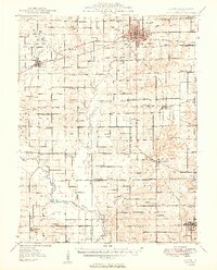
Editions of this 1986 Olney Map
2 editions found
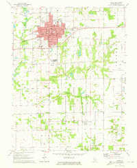
Historical Maps of Olney Through Time
8 maps found
Featured Locations
Source Details
SourceU.S. Geological Survey
CopyrightPublic Domain