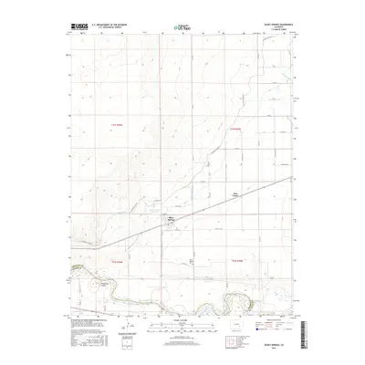
2016 Map of Olney Springs
USGS Topo · Published 2016About this map
Olney Springs serves as the focal point of this Crowley County landscape, situated where the high plains meet the intricate irrigation network of the Arkansas River Valley. The map reveals a highly engineered agricultural environment, where the Colorado Canal and Olney Wasteway facilitate water movement across the terrain to the Olney Springs Reservoir. This infrastructure supports a grid of rural homesteads and local settlements like King Center, reflecting the region's reliance on managed water systems in an arid climate.
Find a feature on this map
44 named features on this map. Tap any name to fly to it.
Don’t see what you’re looking for? This feature index may not catch every label — zoom into the map to look around manually.
Map Details
Editions of this 2016 Olney Springs Map
This is the sole edition of this map. No revisions or reprints were ever made.
Other maps of this area
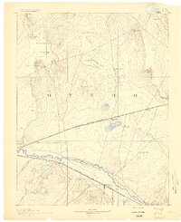
1891 · Catlin
USGS Topo · 1:125,000
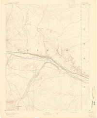
1891 · Nepesta
USGS Topo · 1:125,000
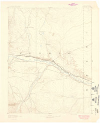
1893 · Nepesta
USGS Topo · 1:125,000
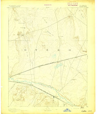
1893 · Catlin
USGS Topo · 1:125,000
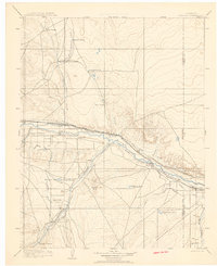
1904 · Nepesta
USGS Topo · 1:125,000
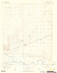
1954 · Olney Springs
USGS Topo · 1:24,000
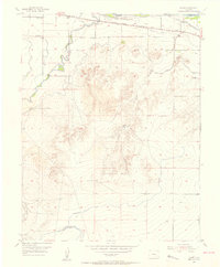
1954 · Elder
USGS Topo · 1:24,000
1954 · Ordway
USGS Topo · 1:24,000
1954 · Manzanola
USGS Topo · 1:24,000
1954 · Lamar
USGS Topo · 1:250,000