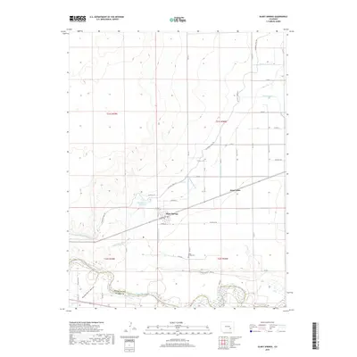
2019 Map of Olney Springs
USGS Topo · Published 2019About this map
Olney Springs serves as the focal point of this Crowley County landscape, where the high desert terrain is heavily modified by a complex network of twentieth-century water engineering. The town sits at the intersection of Warner Ave and Railroad Ave, reflecting its orientation to the rail corridor. The surrounding plains are etched by numerous irrigation structures, including the Colorado Canal, Rocky Ford Lateral, and Auckland Lateral, which draw from the Arkansas River to the south. This intricate plumbing system, punctuated by features like the Olney Springs Reservoir and Olney Wasteway, demonstrates the essential role of water management in sustaining agricultural settlements in the Arkansas River Valley. To the west, the topography dips into Hungerford Hollow, while the eastern portion of the survey includes the small community of King Center. Families and local historians can locate the Olney Springs Cem situated just south of the main town site.
Find a feature on this map
52 named features on this map. Tap any name to fly to it.
Don’t see what you’re looking for? This feature index may not catch every label — zoom into the map to look around manually.
Map Details
Editions of this 2019 Olney Springs Map
This is the sole edition of this map. No revisions or reprints were ever made.
Other maps of this area
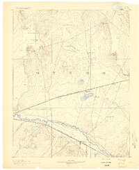
1891 · Catlin
USGS Topo · 1:125,000
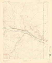
1891 · Nepesta
USGS Topo · 1:125,000
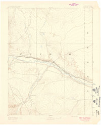
1893 · Nepesta
USGS Topo · 1:125,000
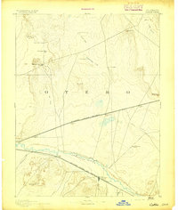
1893 · Catlin
USGS Topo · 1:125,000
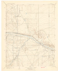
1904 · Nepesta
USGS Topo · 1:125,000
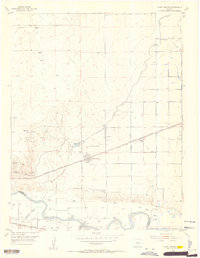
1954 · Olney Springs
USGS Topo · 1:24,000
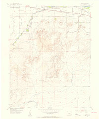
1954 · Elder
USGS Topo · 1:24,000
1954 · Ordway
USGS Topo · 1:24,000
1954 · Manzanola
USGS Topo · 1:24,000
1954 · Lamar
USGS Topo · 1:250,000