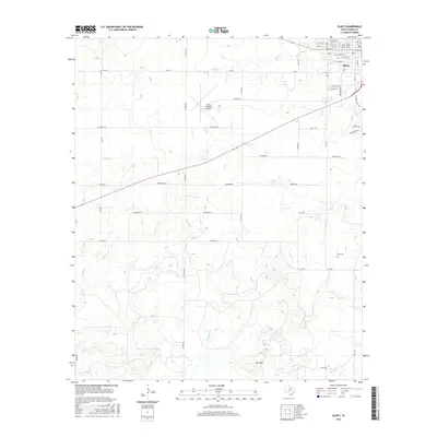
2016 Map of Olney
USGS Topo · Published 2016About this map
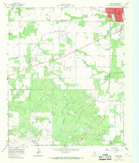
Olney serves as the primary hub in this portion of north-central Texas, where a grid of residential streets like W Main St and W Oak St gives way to a network of rural farm-to-market roads. The landscape is defined by the subtle drainage patterns of California Cr and Mud Cr, which wind through the plains toward Skid Mtn in the south. This area illustrates the transition from town life to expansive ranching and agricultural operations, with the Olney Municipal Airport situated centrally for regional access. For those tracing local heritage or land use, the map provides precise locations for the Orth Cem and various rural landmarks such as Heard Rd and Schlegel Rd, which follow the section lines of the Texas surveying system.
Find a feature on this map
44 named features on this map. Tap any name to fly to it.
Don’t see what you’re looking for? This feature index may not catch every label — zoom into the map to look around manually.
Map Details
Editions of this 2016 Olney Map
This is the sole edition of this map. No revisions or reprints were ever made.
Other maps of this area
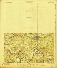
1927 · Graham
USGS Topo · 1:62,500

1954 · Wichita Falls
USGS Topo · 1:250,000

1958 · Wichita Falls
USGS Topo · 1:250,000
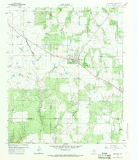
1963 · Megargel
USGS Topo · 1:24,000
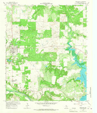
1964 · Newcastle
USGS Topo · 1:24,000
1964 · Bobcat Bluff
USGS Topo · 1:24,000
1964 · Padgett
USGS Topo · 1:24,000
1964 · True
USGS Topo · 1:24,000
1964 · Lake Olney
USGS Topo · 1:24,000
1964 · Olney
USGS Topo · 1:24,000