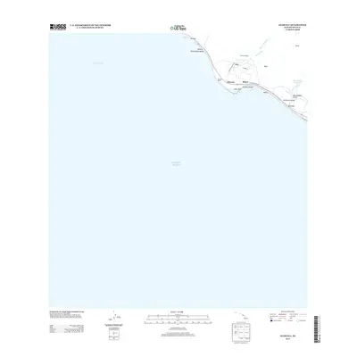
2013 Map of Olowalu
USGS Topo · Published 2013About this map
Kaiwaloa Heiau stands as a significant cultural landmark on this coastal portion of Maui, where the steep volcanic ridges meet the Pacific Ocean. The settlement pattern centers around Olowalu, with neighboring residential areas at Mōpua and Kīlea hugging the corridor of the Honoapiilani Hwy. This 2013 survey illustrates the essential water infrastructure of the region, including the Olowalu Ditch and Ukumehame Reservoirs, which serve the leeward slopes.
Find a feature on this map
25 named features on this map. Tap any name to fly to it.
Don’t see what you’re looking for? This feature index may not catch every label — zoom into the map to look around manually.
Map Details
Editions of this 2013 Olowalu Map
This is the sole edition of this map. No revisions or reprints were ever made.
Other maps of this area

1929 · Kahoolawe
USGS Topo · 1:62,500

1954 · Maui
USGS Topo · 1:250,000

1954 · Maalaea
USGS Topo · 1:24,000

1955 · Olowalu
USGS Topo · 1:24,000

1955 · Wailuku
USGS Topo · 1:24,000

1956 · Lahaina
USGS Topo · 1:24,000

1966 · Maui
USGS Topo · 1:250,000

1974 · Maui
USGS Topo · 1:250,000

1977 · Wailuku
USGS Topo · 1:24,000
1978 · Lahaina
USGS Topo · 1:24,000