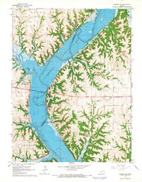
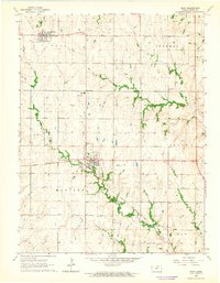
1964 Map of Olsburg NW
USGS Topo · Published 1965About this map
Tuttle Creek Reservoir dominates the landscape of north-central Kansas in the mid-1960s, its waters filling the deep valleys formed by the Big Blue River. This topographic record illustrates a significant era of hydrological transformation, showing the reservoir at its normal pool elevation and the resulting shoreline that redefined the borders between Riley and Pottawatomie counties. The newly formed lake created vast recreational opportunities, evidenced by the Fancy Creek State Park, Swede Creek Recreation Area, and Baldwin Creek Recreation Area.
Find a feature on this map
17 named features on this map. Tap any name to fly to it.
Don’t see what you’re looking for? This feature index may not catch every label — zoom into the map to look around manually.
Map Details
Editions of this 1964 Olsburg NW Map
3 editions found
Other maps of this area

1886 · Junction City
USGS Topo · 1:125,000

1889 · Marysville
USGS Topo · 1:125,000

1889 · Junction City
USGS Topo · 1:125,000

1894 · Junction City
USGS Topo · 1:125,000

1894 · Marysville
USGS Topo · 1:125,000

1955 · Manhattan
USGS Topo · 1:250,000

1956 · Manhattan
USGS Topo · 1:250,000

1957 · Manhattan
USGS Topo · 1:250,000
1964 · Tuttle Creek Dam
USGS Topo · 1:24,000
1964 · Riley
USGS Topo · 1:24,000