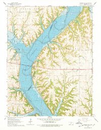
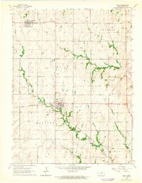
1964 Map of Olsburg NW
USGS Topo · Published 1978About this map
The Big Blue River valley is the defining feature of this mid-1960s landscape, captured here shortly after the creation of Tuttle Creek Lake. This reservoir significantly reshaped the border of Riley and Pottawatomie Counties, creating a wide waterway that required the construction of the prominent Randolph Bridge. The map details the emerging recreational infrastructure of the era, including Fancy Creek State Park and Randolph State Park, which flank the lake's western and eastern shores. Numerous inlets such as Fancy Creek and Shannon Creek cut through the high ground of Blue Valley and Jackson. While the reservoir dominates the center, the surrounding hillsides show several active quarries and established local landmarks like the gaging station near the bridge crossing. Smaller watercourses like Booth Creek and Baldwin Creek feed into the larger system, illustrating the complex drainage of this Kansas river valley.
Find a feature on this map
21 named features on this map. Tap any name to fly to it.
Don’t see what you’re looking for? This feature index may not catch every label — zoom into the map to look around manually.
Map Details
Editions of this 1964 Olsburg NW Map
3 editions found
Other maps of this area

1886 · Junction City
USGS Topo · 1:125,000

1889 · Marysville
USGS Topo · 1:125,000

1889 · Junction City
USGS Topo · 1:125,000

1894 · Junction City
USGS Topo · 1:125,000

1894 · Marysville
USGS Topo · 1:125,000

1955 · Manhattan
USGS Topo · 1:250,000

1956 · Manhattan
USGS Topo · 1:250,000

1957 · Manhattan
USGS Topo · 1:250,000
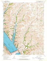
1964 · Tuttle Creek Dam
USGS Topo · 1:24,000
1964 · Riley
USGS Topo · 1:24,000