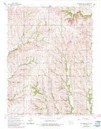
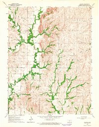
1964 Map of Westmoreland NE
USGS Topo · Published 1983About this map
Old Indian Treaty Boundary cuts a diagonal path across the rolling Kansas landscape, marking a historic jurisdictional line through Sherman and Center townships. This agricultural area in Pottawatomie County is defined by a dense network of watercourses, including the westward flow of Clear Creek and the southern reaches of Indian Creek. The map shows a rural society organized around small community centers and land plots, evidenced by the scattered placement of Fairview Cem and St Michaels Cem.
Find a feature on this map
21 named features on this map. Tap any name to fly to it.
Don’t see what you’re looking for? This feature index may not catch every label — zoom into the map to look around manually.
Map Details
Editions of this 1964 Westmoreland NE Map
2 editions found
Other maps of this area

1889 · Seneca
USGS Topo · 1:125,000

1889 · Wamego
USGS Topo · 1:125,000

1894 · Seneca
USGS Topo · 1:125,000

1894 · Wamego
USGS Topo · 1:125,000

1955 · Manhattan
USGS Topo · 1:250,000

1956 · Manhattan
USGS Topo · 1:250,000

1957 · Manhattan
USGS Topo · 1:250,000
1964 · Louisville
USGS Topo · 1:24,000
1964 · Westmoreland
USGS Topo · 1:24,000
1964 · Laclede
USGS Topo · 1:24,000