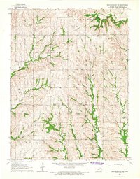
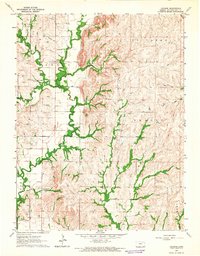
1964 Map of Westmoreland NE
USGS Topo · Published 1965About this map
Wheaton Corp Bdy and the surrounding townships of Sherman, Union, and Center define this rural landscape in the mid-1960s. The terrain is characterized by a dense network of drainages including Clear Creek and Indian Creek, where the topography shows the transition between elevated ridges and fertile valley bottoms. A significant historical marker, the Old Indian Treaty Bdy, cuts diagonally through the townships, reflecting the region's complex nineteenth-century administrative history. Settlement patterns are sparse and agriculturally focused, evidenced by the presence of Cloverleaf Sch and a series of rural burying grounds such as St Michaels Cem, St Lukes Cem, and Fairview Cem. Small-scale industry is represented by a local Quarry, while distinctive natural landmarks like Lone Tree and the seasonal flows of Dutch Hollow provide essential orientation in this portion of Pottawatomie County.
Find a feature on this map
21 named features on this map. Tap any name to fly to it.
Don’t see what you’re looking for? This feature index may not catch every label — zoom into the map to look around manually.
Map Details
Editions of this 1964 Westmoreland NE Map
2 editions found
Other maps of this area

1889 · Seneca
USGS Topo · 1:125,000

1889 · Wamego
USGS Topo · 1:125,000

1894 · Seneca
USGS Topo · 1:125,000

1894 · Wamego
USGS Topo · 1:125,000

1955 · Manhattan
USGS Topo · 1:250,000

1956 · Manhattan
USGS Topo · 1:250,000

1957 · Manhattan
USGS Topo · 1:250,000
1964 · Louisville
USGS Topo · 1:24,000
1964 · Westmoreland
USGS Topo · 1:24,000
1964 · Laclede
USGS Topo · 1:24,000