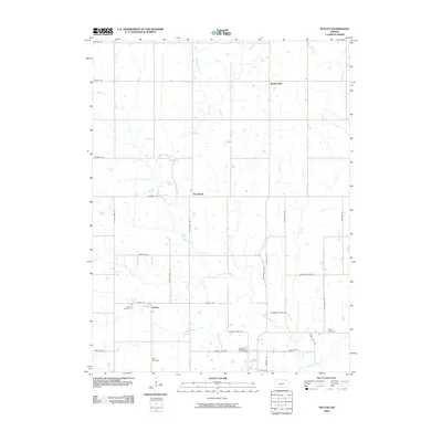
2009 Map of Duluth
USGS Topo · Published 2009About this map
Neuchatel and Duluth anchor this rural Kansas landscape, where a network of tributary streams defines the local geography. The map traces the winding courses of French Creek and Dutch Creek as they move toward larger drainages like Vermillion Creek at the southern edge. This 2009 survey highlights a classic Midwestern grid of section roads, including historic routes such as Overland Rd and Golden Belt Rd.
Find a feature on this map
37 named features on this map. Tap any name to fly to it.
Don’t see what you’re looking for? This feature index may not catch every label — zoom into the map to look around manually.
Map Details
Editions of this 2009 Duluth Map
This is the sole edition of this map. No revisions or reprints were ever made.
Other maps of this area

1889 · Seneca
USGS Topo · 1:125,000

1889 · Wamego
USGS Topo · 1:125,000

1894 · Seneca
USGS Topo · 1:125,000

1894 · Wamego
USGS Topo · 1:125,000

1955 · Manhattan
USGS Topo · 1:250,000

1956 · Manhattan
USGS Topo · 1:250,000

1957 · Manhattan
USGS Topo · 1:250,000
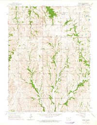
1964 · Onaga NE
USGS Topo · 1:24,000
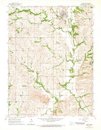
1964 · Onaga
USGS Topo · 1:24,000
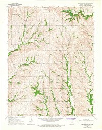
1964 · Westmoreland NE
USGS Topo · 1:24,000