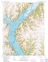
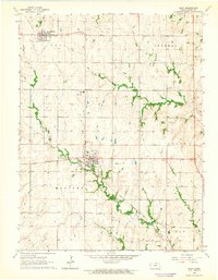
1964 Map of Olsburg NW
USGS Topo · Published 1983About this map
Tuttle Creek Lake dominates the central landscape of this northern Kansas quadrangle, where the Big Blue River and Fancy Creek converge. Established as a reservoir in the mid-20th century, the lake is surrounded by extensive conservation and recreational lands including the Tuttle Creek State Wildlife Management Area and Fancy Creek State Park. The geography is defined by the broad Blue Valley, where the water levels are monitored at a dedicated Gaging Station near the Randolph Bridge. Several smaller tributaries such as Baldwin Creek, Shannon Creek, and Booth Creek drain the surrounding hills into the reservoir basin. This 1983 revision captures the established shoreline and the network of local quarries and recreational areas like the Swede Creek and Baldwin Creek Recreation Area that characterize the modern usage of the valley.
Find a feature on this map
21 named features on this map. Tap any name to fly to it.
Don’t see what you’re looking for? This feature index may not catch every label — zoom into the map to look around manually.
Map Details
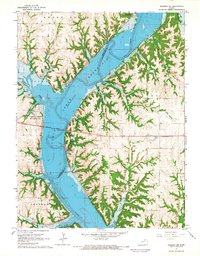
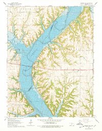
Editions of this 1964 Olsburg NW Map
3 editions found
Other maps of this area

1886 · Junction City
USGS Topo · 1:125,000

1889 · Marysville
USGS Topo · 1:125,000

1889 · Junction City
USGS Topo · 1:125,000

1894 · Junction City
USGS Topo · 1:125,000

1894 · Marysville
USGS Topo · 1:125,000

1955 · Manhattan
USGS Topo · 1:250,000

1956 · Manhattan
USGS Topo · 1:250,000

1957 · Manhattan
USGS Topo · 1:250,000
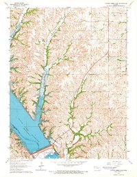
1964 · Tuttle Creek Dam
USGS Topo · 1:24,000
1964 · Riley
USGS Topo · 1:24,000