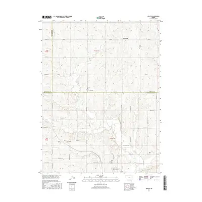
2016 Map of Duluth
USGS Topo · Published 2016About this map
Neuchatel and Duluth sit at the intersection of Nemaha, Marshall, and Pottawatomie counties, serving as quiet agricultural anchors in this corner of the Kansas prairie. The landscape is defined by the winding course of French Creek and its many tributaries, including Dutch Cr and Hise Cr, which carve through the terrain as they flow toward Vermillion Cr. Small rural settlements like Beckerville appear alongside a network of grid roads with descriptive names such as Golden Belt Rd and Overland Rd. Genealogists will find a high density of burial grounds marking early family and community history, from Saint Patricks Cem in the north to Regard Cem and Home Cem further south. Modern aviation infrastructure is represented by the Charles E Grutzmacher Municipal Airport, yet the map remains dominated by the section lines and seasonal creeks that have shaped the region's development for generations.
Find a feature on this map
48 named features on this map. Tap any name to fly to it.
Don’t see what you’re looking for? This feature index may not catch every label — zoom into the map to look around manually.
Map Details
Editions of this 2016 Duluth Map
This is the sole edition of this map. No revisions or reprints were ever made.
Other maps of this area

1889 · Seneca
USGS Topo · 1:125,000

1889 · Wamego
USGS Topo · 1:125,000

1894 · Seneca
USGS Topo · 1:125,000

1894 · Wamego
USGS Topo · 1:125,000

1955 · Manhattan
USGS Topo · 1:250,000

1956 · Manhattan
USGS Topo · 1:250,000

1957 · Manhattan
USGS Topo · 1:250,000
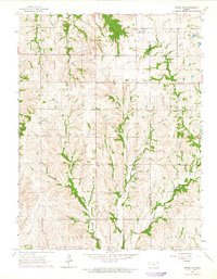
1964 · Onaga NE
USGS Topo · 1:24,000
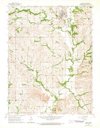
1964 · Onaga
USGS Topo · 1:24,000
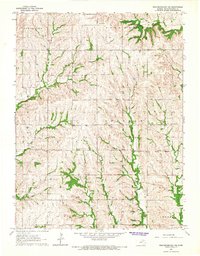
1964 · Westmoreland NE
USGS Topo · 1:24,000