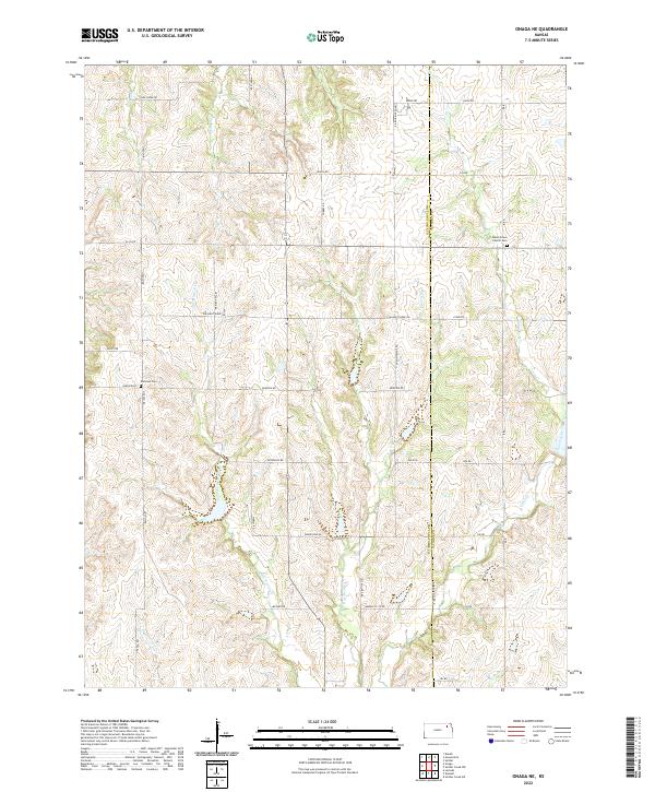
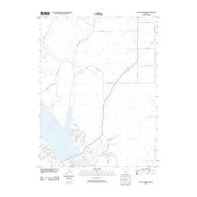
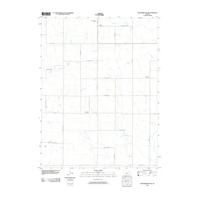
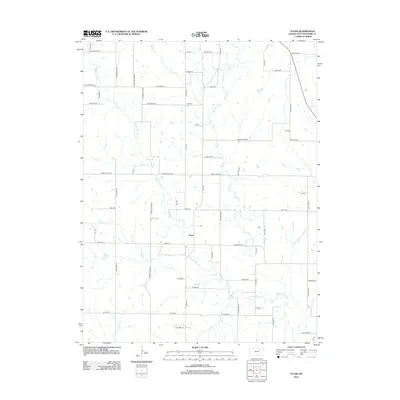
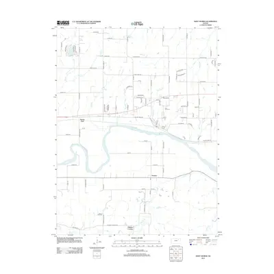
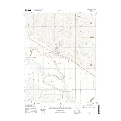
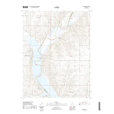
2022 Map of Onaga NE
USGS Topo · Published 2022About this map
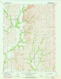
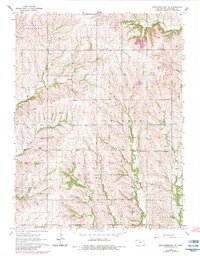
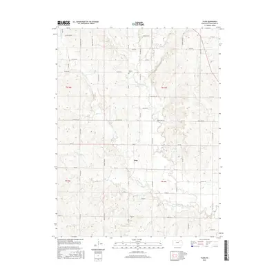
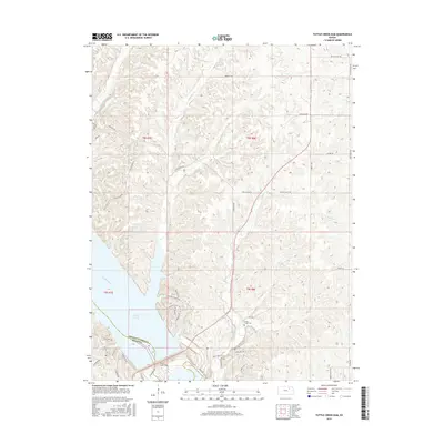
The rolling agricultural landscape of eastern Pottawatomie County meets the Jackson County line in this survey, defined by the intricate drainages of Big Noxie Cr and Little Noxie Cr. This area of Kansas is characterized by its orderly section-line road network, including notable thoroughfares like Pleasant Ridge Rd and America City Rd. The map provides specific detail for local historians and genealogists, pinpointing the Bucks Grove Church Cem and Fairview Cem as focal points for the rural community. Waterways such as Spring Cr and Cross Cr wind through the hills, while localized place names like Jess Willard Rd hint at the personal histories and families that shaped these townships.
Find a feature on this map
41 named features on this map. Tap any name to fly to it.
Don’t see what you’re looking for? This feature index may not catch every label — zoom into the map to look around manually.
Map Details
Editions of this 2022 Onaga NE Map
This is the sole edition of this map. No revisions or reprints were ever made.
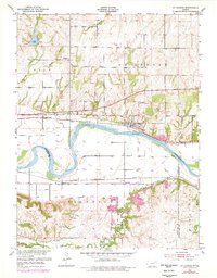
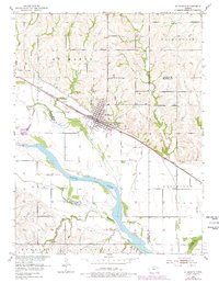
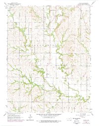
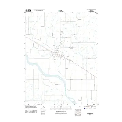
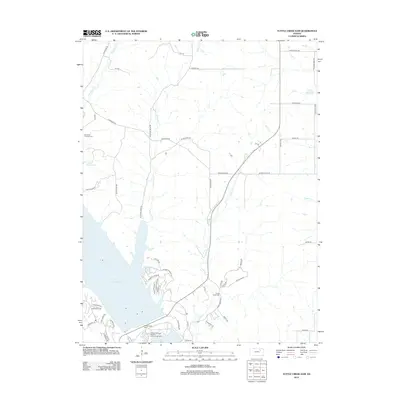
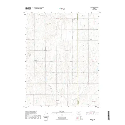
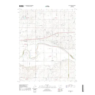
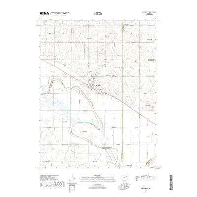
Historical Maps of Pottawatomie County Through Time
54 maps found
1953 St George
Pottawatomie County, KS
1953 St Marys
Pottawatomie County, KS
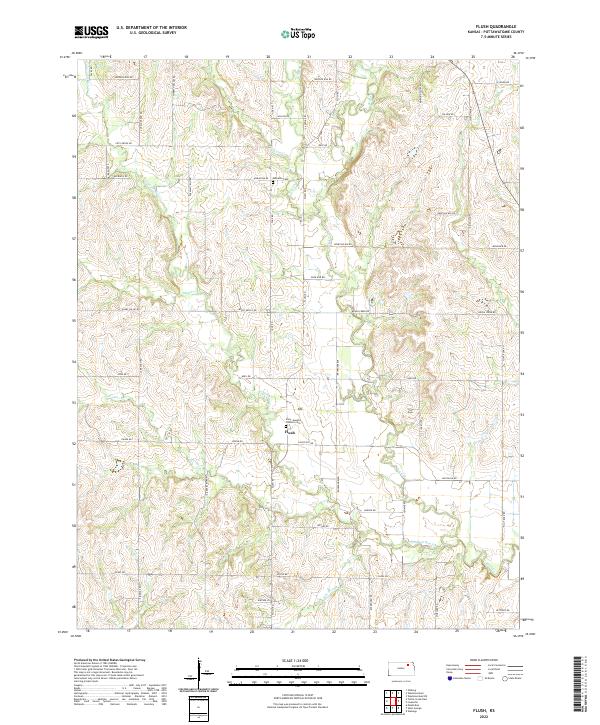
1964 Flush
Pottawatomie County, KS
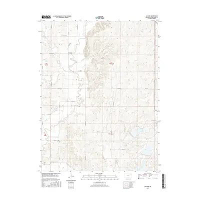
1964 Laclede
Pottawatomie County, KS
1964 Olsburg NW
Pottawatomie County, KS
1964 Onaga NE
Pottawatomie County, KS
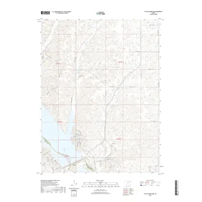
1964 Tuttle Creek Dam
Pottawatomie County, KS
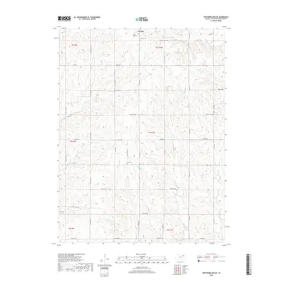
1964 Westmoreland NE
Pottawatomie County, KS
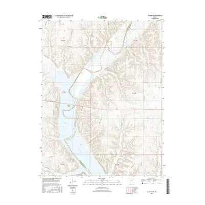
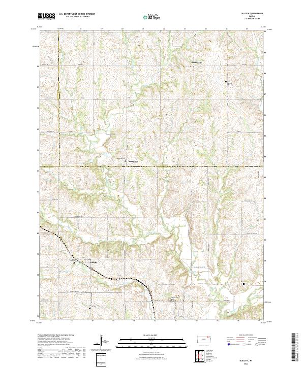
1969 Duluth
Pottawatomie County, KS
2009 Duluth
Pottawatomie County, KS
2009 Flush
Pottawatomie County, KS
2009 Olsburg NW
Pottawatomie County, KS
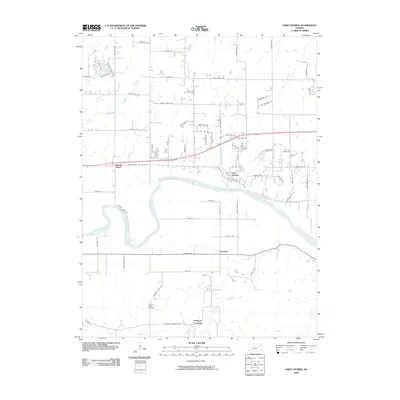
2009 Saint George
Pottawatomie County, KS
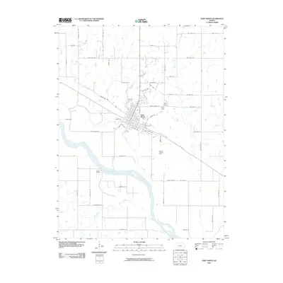
2009 Saint Marys
Pottawatomie County, KS
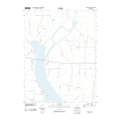
2009 Tuttle Creek Dam
Pottawatomie County, KS
2009 Westmoreland NE
Pottawatomie County, KS
2010 Laclede
Pottawatomie County, KS
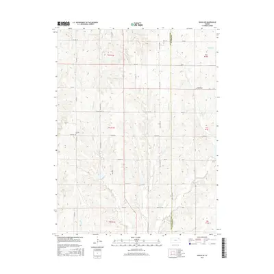
2010 Onaga NE
Pottawatomie County, KS
2012 Duluth
Pottawatomie County, KS
2012 Flush
Pottawatomie County, KS
2012 Laclede
Pottawatomie County, KS
2012 Olsburg NW
Pottawatomie County, KS
2012 Onaga NE
Pottawatomie County, KS
2012 Saint George
Pottawatomie County, KS
2012 Saint Marys
Pottawatomie County, KS
2012 Tuttle Creek Dam
Pottawatomie County, KS
2012 Westmoreland NE
Pottawatomie County, KS
2015 Flush
Pottawatomie County, KS
2015 Laclede
Pottawatomie County, KS
2015 Olsburg NW
Pottawatomie County, KS
2015 Onaga NE
Pottawatomie County, KS
2015 Tuttle Creek Dam
Pottawatomie County, KS
2015 Westmoreland NE
Pottawatomie County, KS
2016 Duluth
Pottawatomie County, KS
2016 Saint George
Pottawatomie County, KS
2016 Saint Marys
Pottawatomie County, KS
2018 Duluth
Pottawatomie County, KS
2018 Flush
Pottawatomie County, KS
2018 Laclede
Pottawatomie County, KS
2018 Olsburg NW
Pottawatomie County, KS
2018 Onaga NE
Pottawatomie County, KS
2018 Saint George
Pottawatomie County, KS
2018 Saint Marys
Pottawatomie County, KS
2018 Tuttle Creek Dam
Pottawatomie County, KS
2018 Westmoreland NE
Pottawatomie County, KS
2022 Duluth
Pottawatomie County, KS
2022 Flush
Pottawatomie County, KS
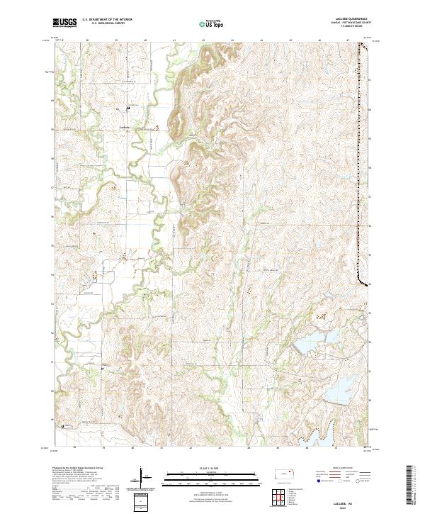
2022 Laclede
Pottawatomie County, KS
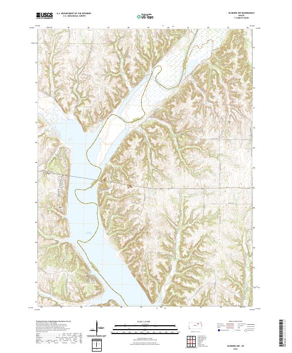
2022 Olsburg NW
Pottawatomie County, KS
2022 Onaga NE
Pottawatomie County, KS
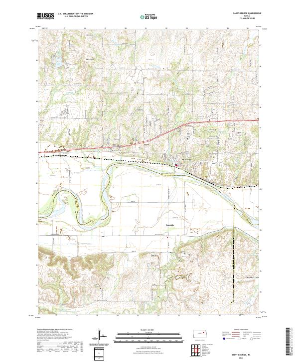
2022 Saint George
Pottawatomie County, KS
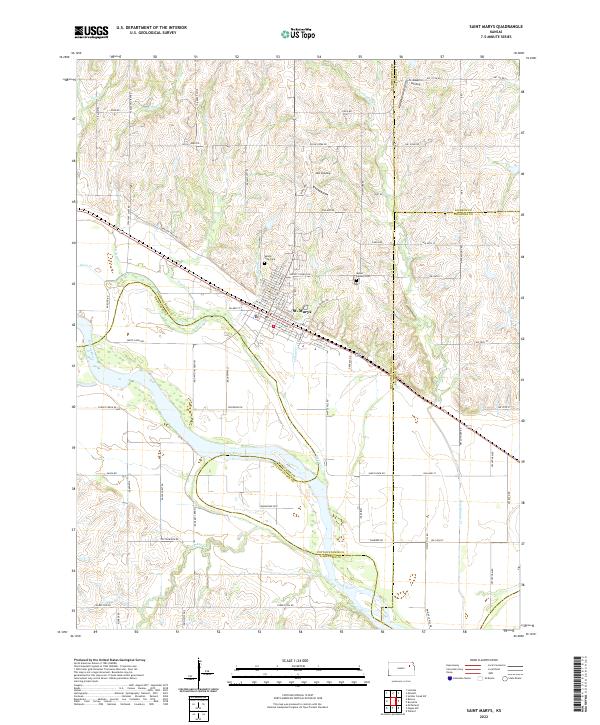
2022 Saint Marys
Pottawatomie County, KS
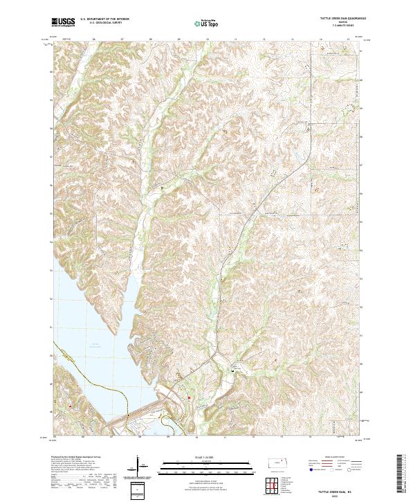
2022 Tuttle Creek Dam
Pottawatomie County, KS
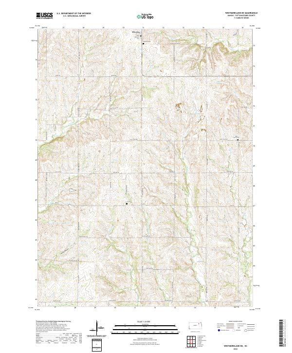
2022 Westmoreland NE
Pottawatomie County, KS