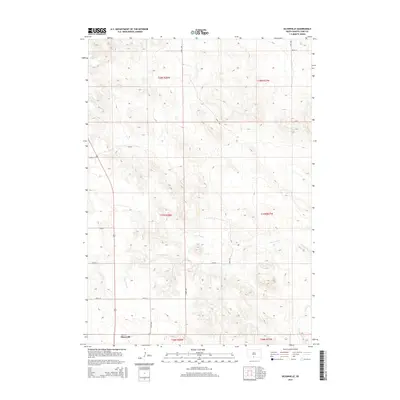
2015 Map of Olsonville
USGS Topo · Published 2015About this map
Olsonville sits at the southwestern edge of this 2015 study of the Todd County landscape. The area is defined by its sectional grid and the subtle drainage patterns of the Lone Tree Cr which meanders through the central and western portions of the quadrangle. In the southeastern corner, the headwaters of Rock Cr emerge, cutting through the terrain. The map reflects a predominantly rural character, where movement is dictated by a network of local roads including Elm Rd and Birch Rd. This modern USGS survey maintains the Public Land Survey System framework, marking the boundaries of townships like t37n r28w and t38n r27w, which provide a reliable coordinate system for tracking historical land ownership and local family history in this part of South Dakota.
Find a feature on this map
20 named features on this map. Tap any name to fly to it.
Don’t see what you’re looking for? This feature index may not catch every label — zoom into the map to look around manually.
Map Details
Editions of this 2015 Olsonville Map
This is the sole edition of this map. No revisions or reprints were ever made.
Other maps of this area
1955 · Martin
USGS Topo · 1:250,000
1958 · Martin
USGS Topo · 1:250,000
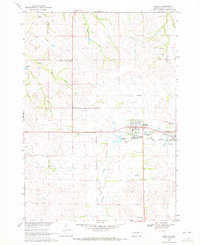
1969 · Mission
USGS Topo · 1:24,000
1969 · Olsonville NW
USGS Topo · 1:24,000
1969 · Olsonville SW
USGS Topo · 1:24,000
1982 · Olsonville
USGS Topo · 1:24,000
1982 · Olsonville SE
USGS Topo · 1:24,000
1982 · Hidden Timber
USGS Topo · 1:24,000
1982 · Okreek
USGS Topo · 1:25,000
1982 · Mission SE
USGS Topo · 1:24,000